Guidebook with maps/step-by-step
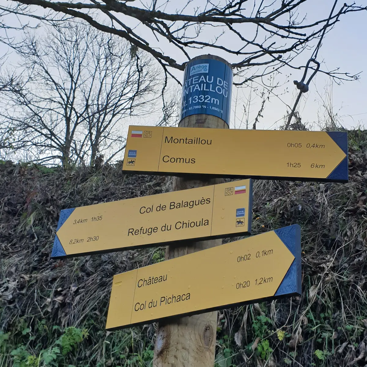
(D/A) - Place de Montaillou. Walk up towards the church and château, following the white and red markers of the GR107, which you leave at the end of the lane in front of a large fountain.
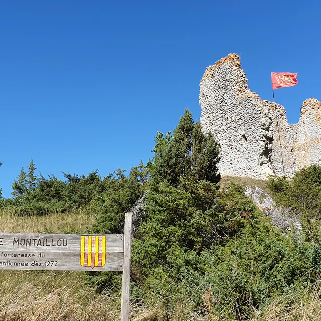
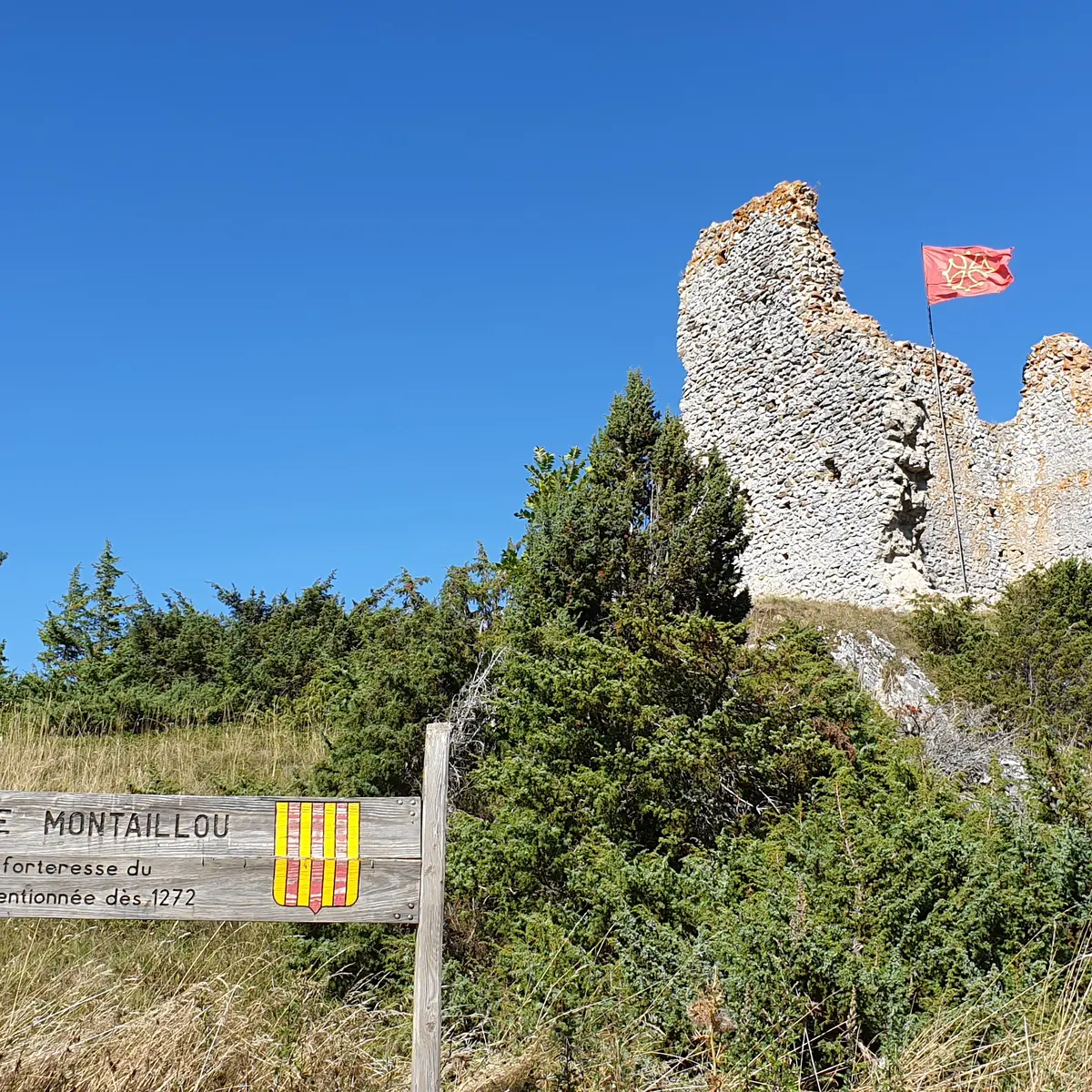
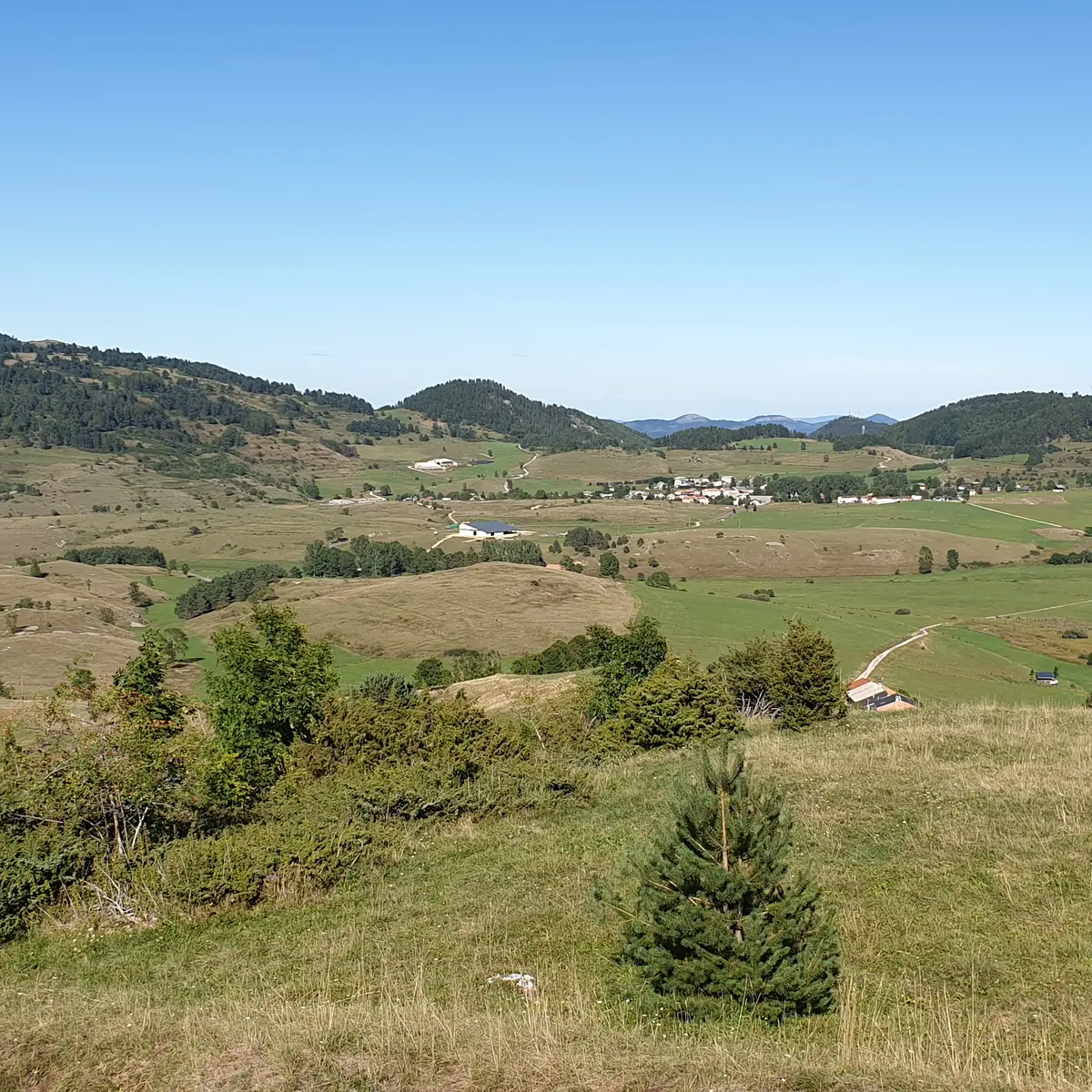
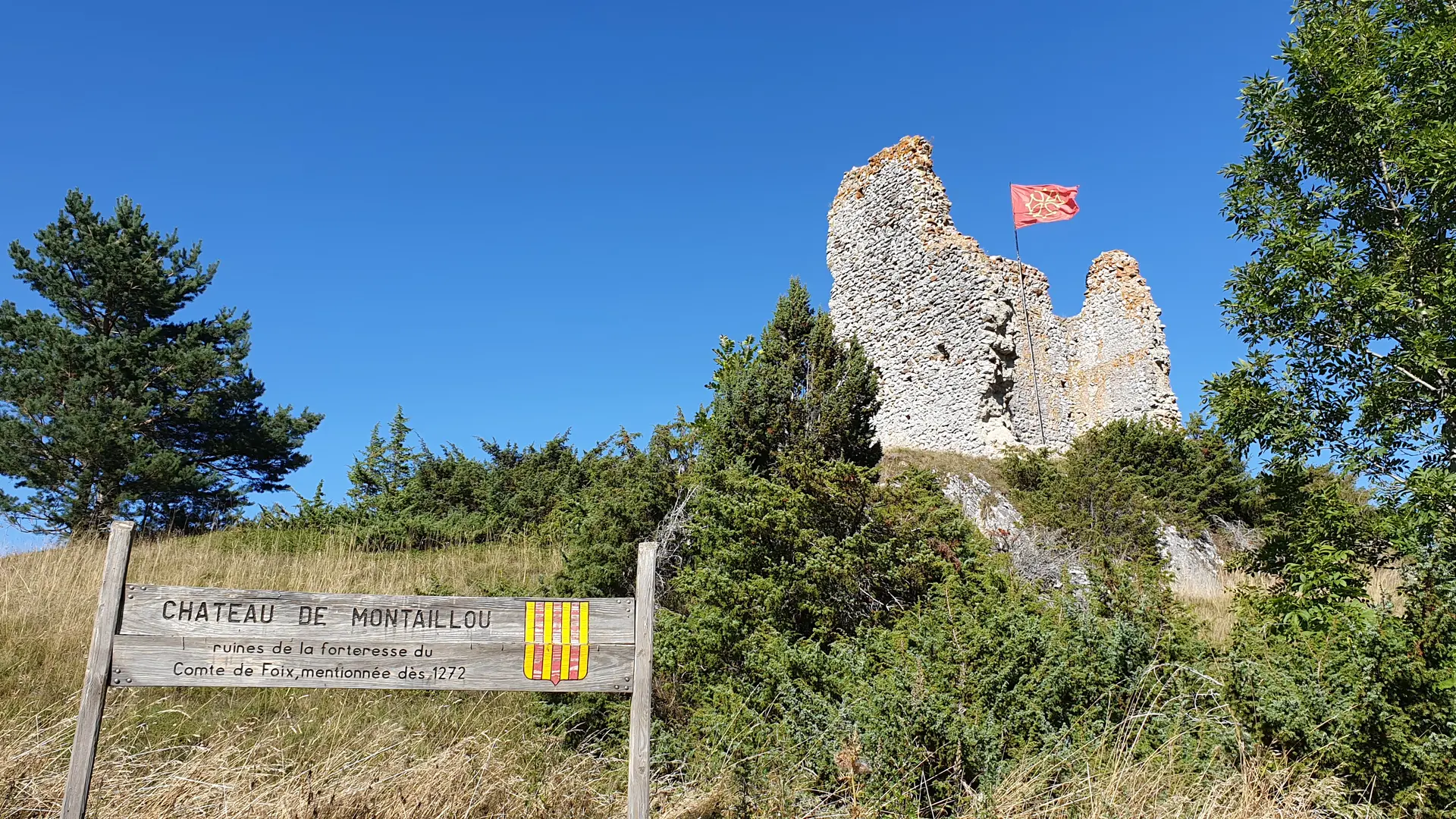
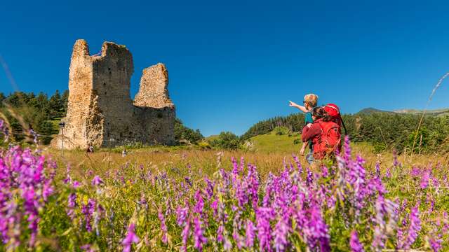
0:05 - Fountain. Now follow the yellow markers uphill to the right towards the château. Take a few minutes to visit the ruins, which have been the subject of archaeological excavations, explained on panels in the castle grounds. After the visit, follow the path through meadows and then down along a grove to the Col de Pichaca.
0h45 - Col de Pichaca. Go left and soon find an intersection with the GR107 at a cross.
Take this GR, which climbs for a while into the pine forest, then joins a wide grassy path (yellow markings) which you descend.
1h15 - Intersection. Turn left onto a road that leads back to the center of Montaillou.