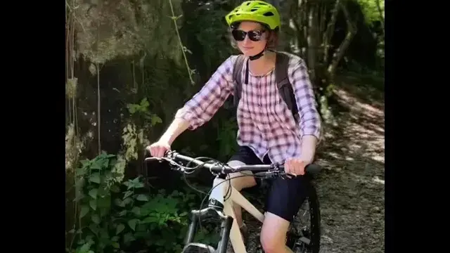
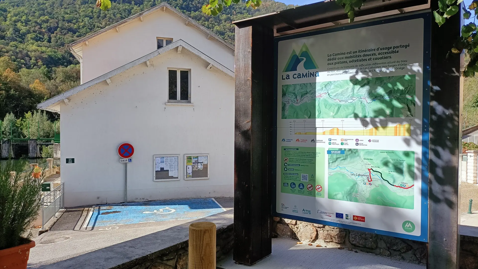
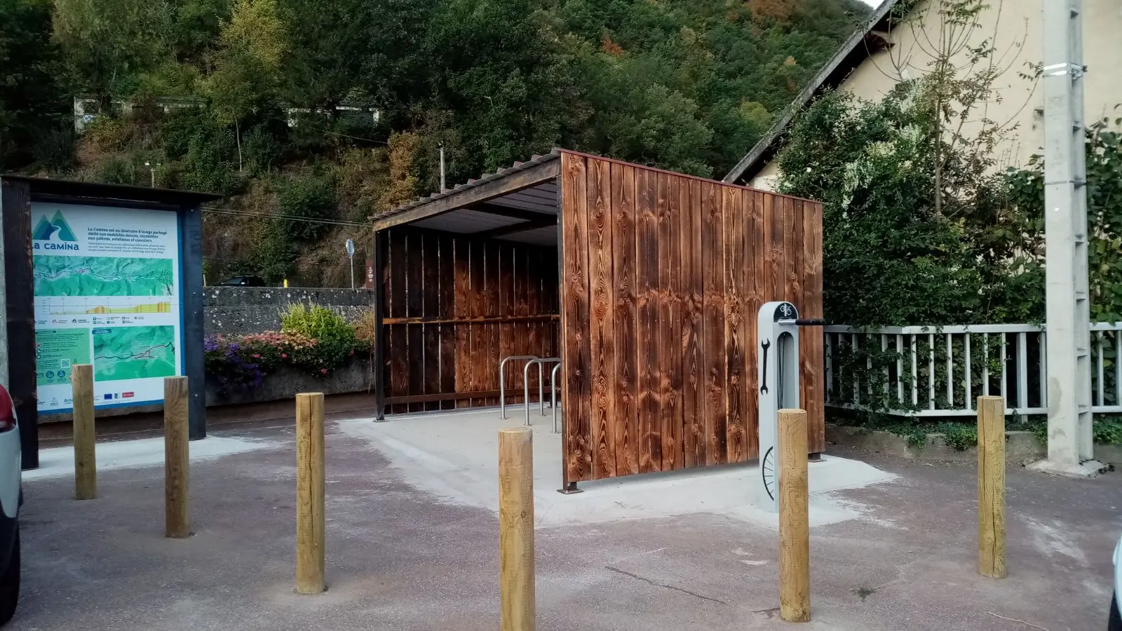
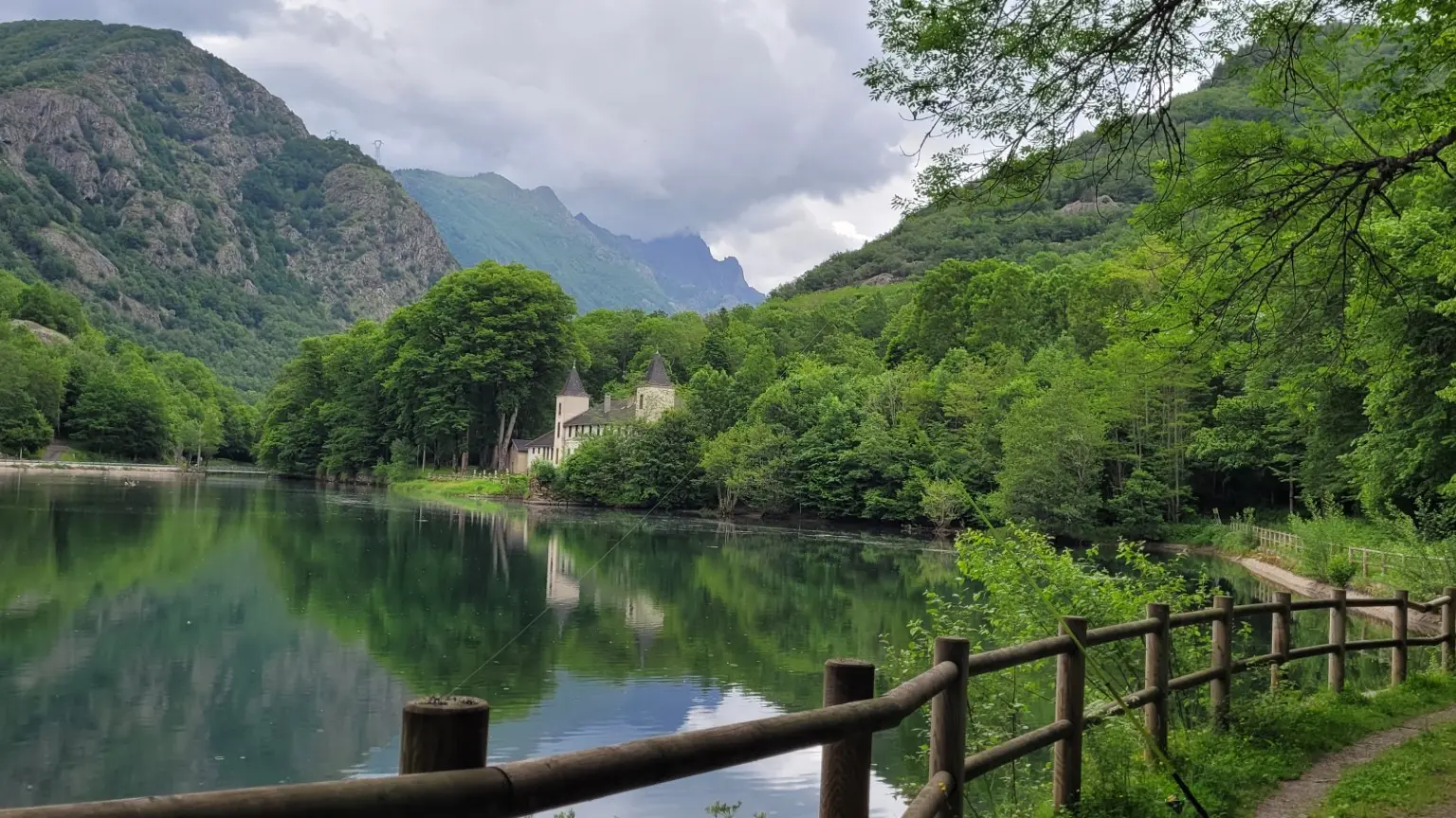
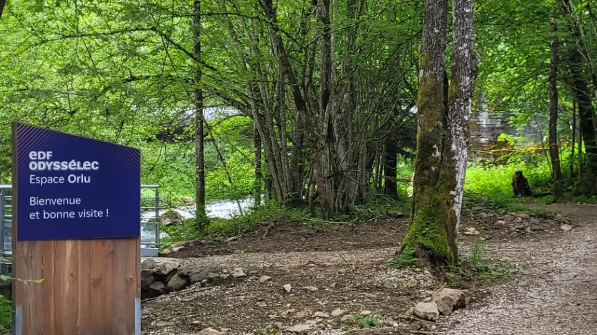
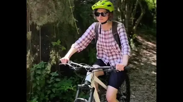
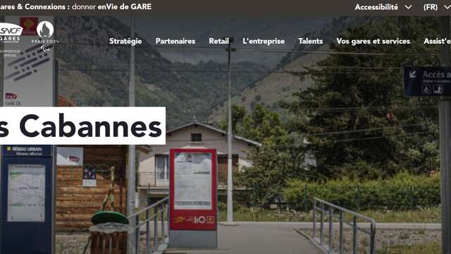
The Camina is a shared-use route dedicated to soft mobility. It is accessible to pedestrians, mountain bikers and horse riders. It links Les Cabannes to Orlu (Forges), crossing 14 communes over 28 km.
The Camina is made up of sections of varying difficulty, ranging from blue (moderate route) to black (very difficult route).
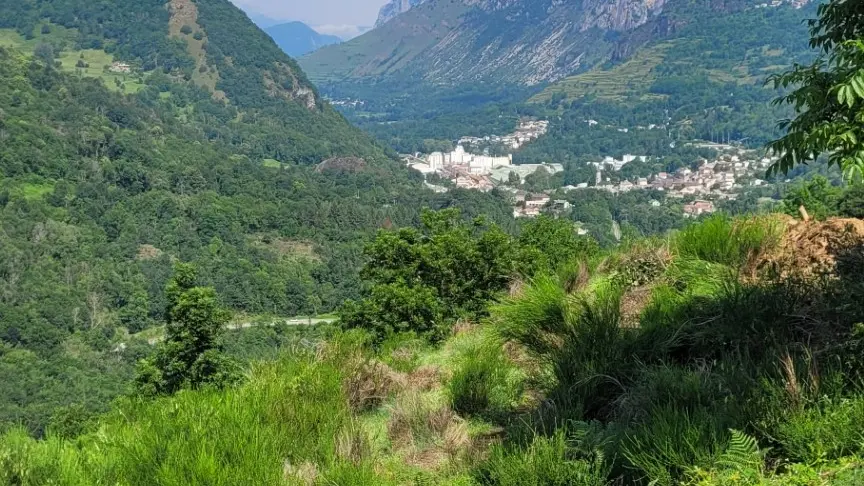
It links Les Cabannes to Orlu (Forges), covering the slopes and valleys of the Ariège and Oriège rivers: Les Cabannes, Verdun, Albiès, Urs, Garanou, Luzenac, Unac, Tignac, Perles et Castelet, Savignac les Ormeaux, Ax les Thermes, Orgeix, Orlu and the Forges d'Orlu parking lot.
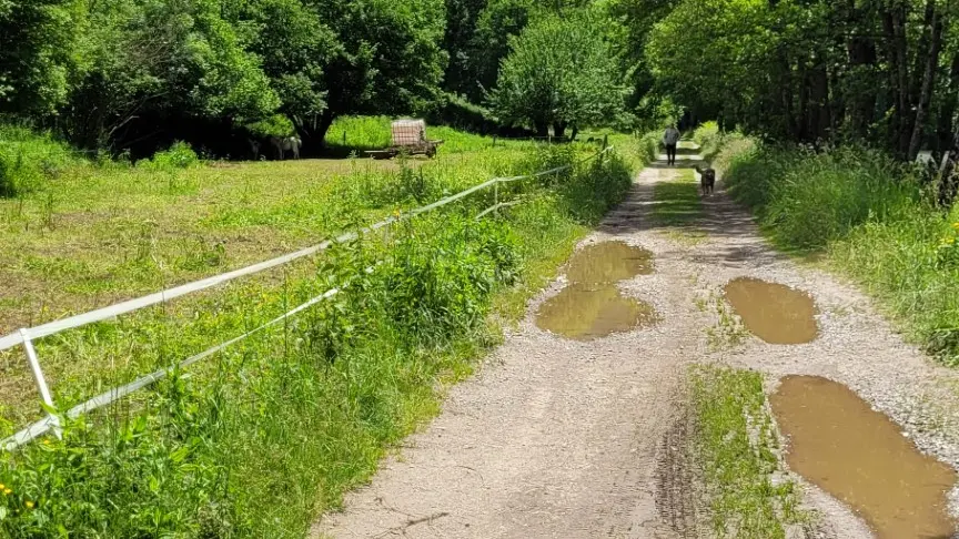
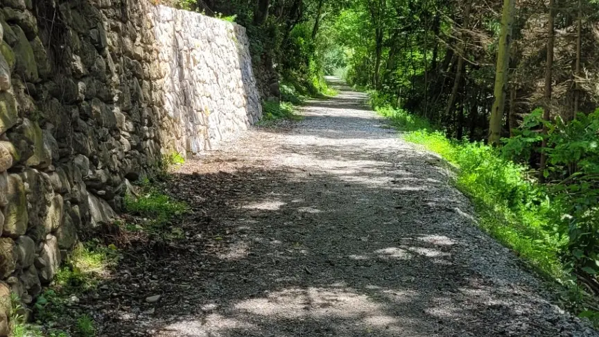
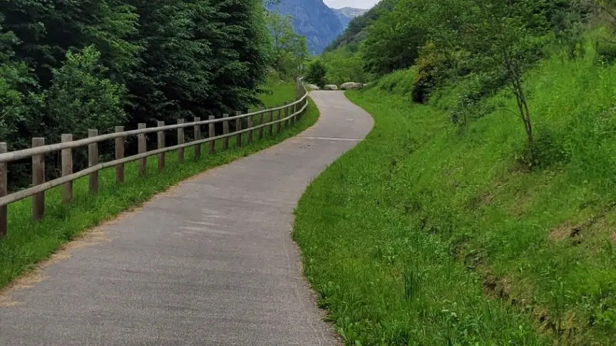
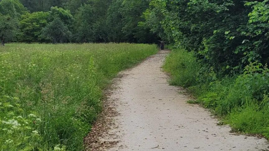
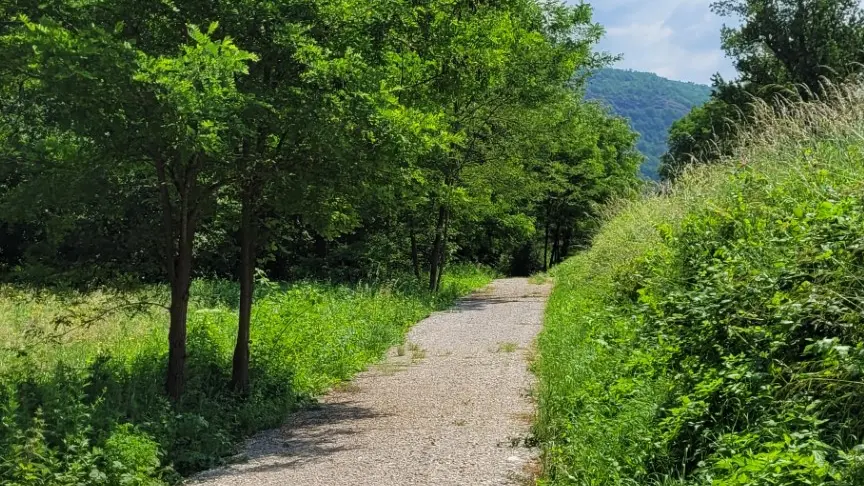
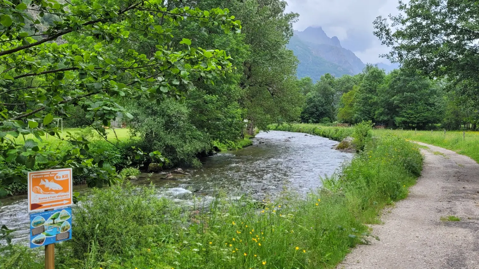
The route takes in widened paths, local roads, stretches of road and gravel paths. The route is not safe for winter use.
Our recommendations: this is an unusual itinerary, so keep your speed under control and watch out for warning signs along the way.