Étang d'Appy - from Appy

  • Sport
  • Pedestrian sports
  • Hiking itinerary
Elevation : 980m
Parking Village D'Appy, 09250 Appy
Sun, warmth and panoramic views will be your companions throughout this lovely hike starting from the village of Appy. As you ascend, you'll see the border peaks of the Aston massif coming into view.
Access: Take the RN20 to Luzenac. Follow Lordat then take the Route de la Corniche (RD20) towards Axiat. 2 km further on, when you reach the village of Appy, turn right and park in the parking lot provided.
  • Guidebook with maps/step-by-step
    (D/A) - Appy parking lot. Go through the gate at the threshold of the field at the top of the parking lot. Then take the path heading north-east. The track is very good. Pass under a high-voltage power line.

    0:30 - Junction. At the first fork in the road, turn right. The path on the left leads to a climbing wall. Pass under a second power line. Then go through a second gate, which you close behind you. Continue for 1km on this stony path up through the broom.

    1h20 - Intersection. At a crossroads, turn left onto the winding path. You'll see a wooden signpost and a yellow marking on a stone. Continue uphill on a grassy ridge. You'll come to a grove on the right.

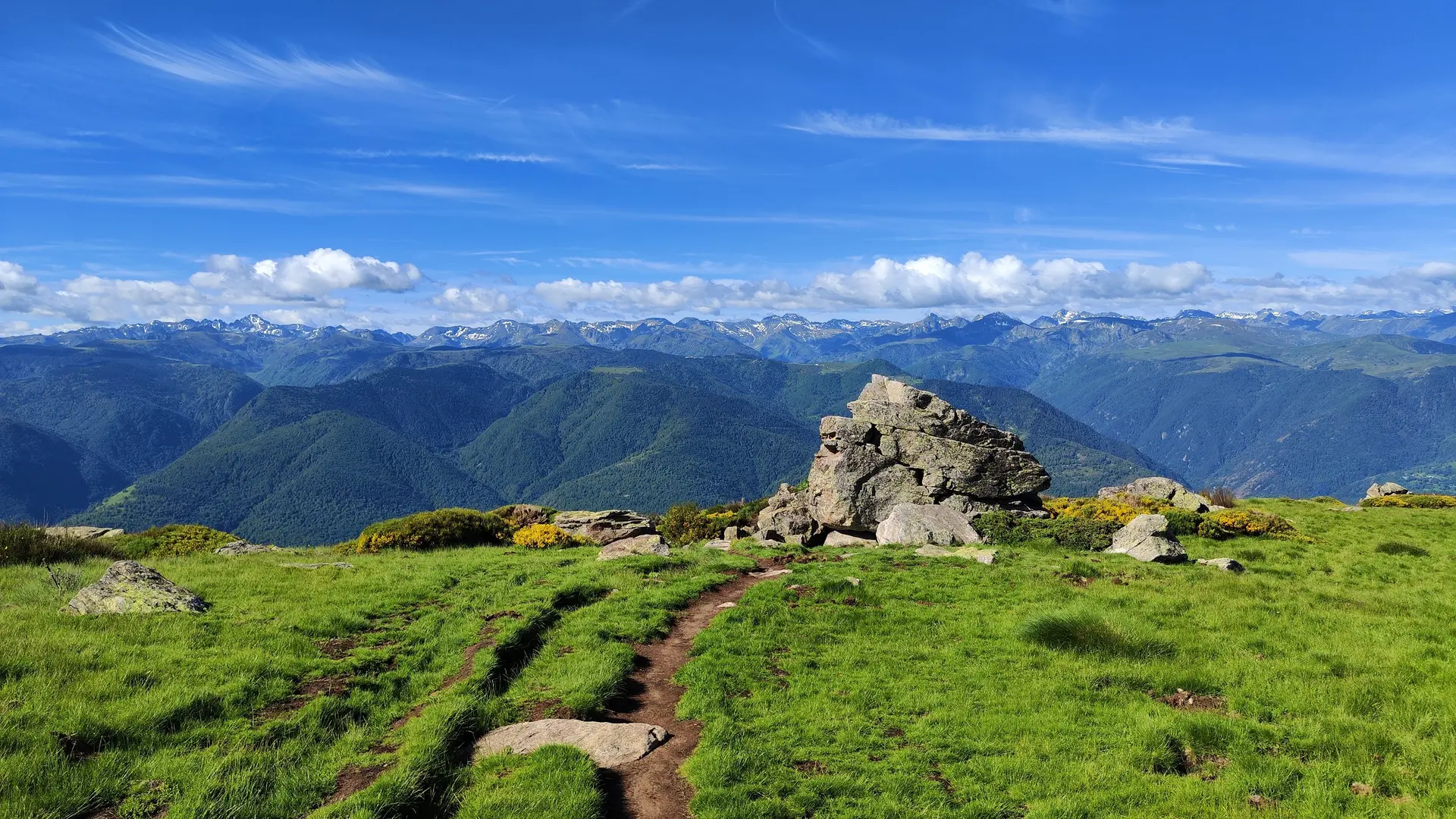
    2h00 - Second fork. When you come to a huge stone, turn right, heading north. The rest of the hike is flat.

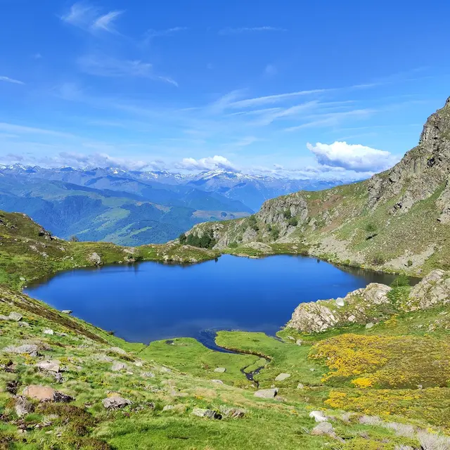
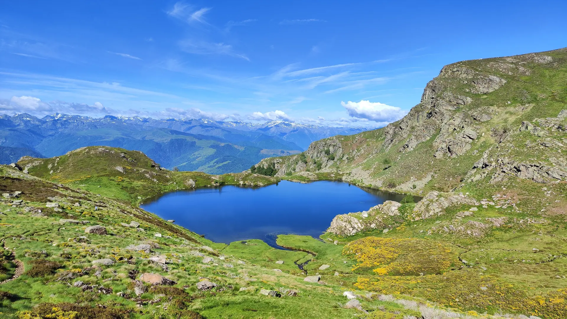
    2h30 - You arrive at the Étang d'Appy and its hut. Then simply return to the signposted path and follow the same route back in the opposite direction.

Services

Services

Car park
Free car park
Pets welcome
Pets allowed on leash only.

Environment

Environment

  • Mountain location
  • Village 2 km away
  • Pond within 5 km
  • 10 - 20 min from a train station by car
  • 20 - 30 min from a train station by bike
  • 20 - 30 min from an SNCF station by electric bike
Updated on 25 November 2025 at 16:00
by Office de Tourisme des Pyrénées Ariégeoises
(Offer identifier : 6412597)
Report mistake
Close
Filter search
Page types
  • All
  • Articles
  • Agenda
  • Lists