The Ares Pass

  • Sport
  • Pedestrian sports
  • Hiking itinerary
Elevation : 1448m
Route forestière de Bosc Negre, 09460 Quérigut
This charming, easy, family-friendly itinerary allows you to discover the many
Donezan's heritage. Indeed, the milestones engraved
along the route reveal a remarkable historical heritage.
Road access: From the Ax-les-Thermes valley, take the Col de Pailhères (check it's open) via the D25, then head for Mijanès. After the bridge, follow signs for Quérigut. In Quérigut, follow the main road and, at a square, continue straight on towards Mont-Louis. Pass the gendarmerie and continue for 3.5km. Park at the entrance to the Bosc Nègre forest road.
  • Guidebook with maps/step-by-step
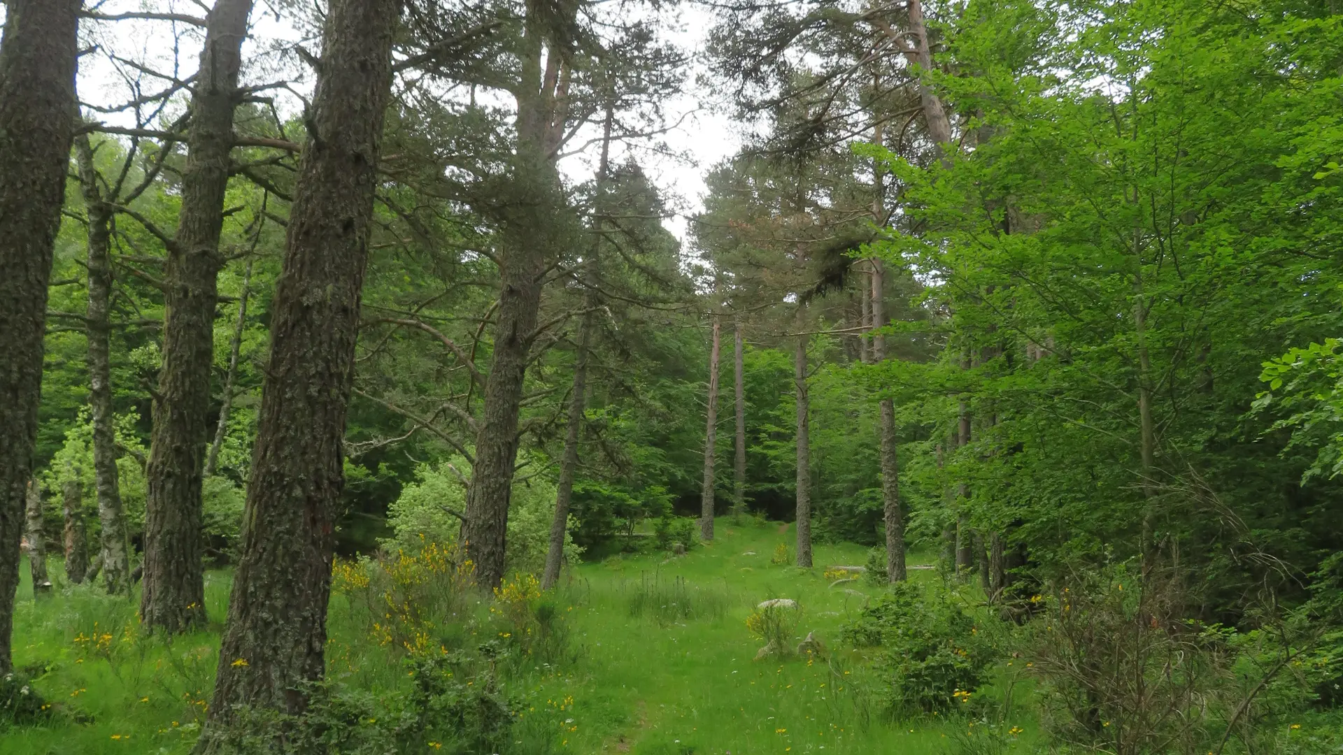
    (D) - From the parking lot, descend along the road for 500 metres, then turn left onto the track leading to the water catchments. Go through the wicket gate and continue along the path up into the forest.

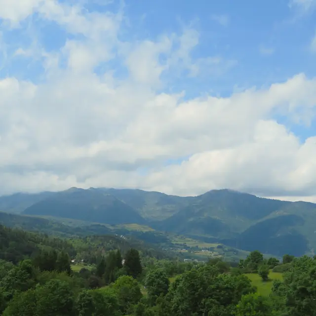
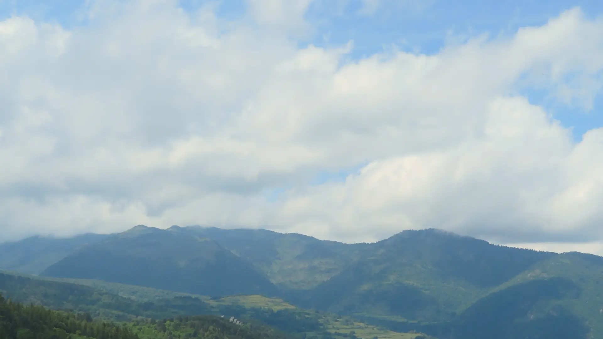
    10min - Reach a forest track. Continue on the opposite path. Remember to close the pastoral fence behind you. Continue along the main path and skirt a clearing with a superb view of Donezan. At the next gate, before crossing it, you can go slightly to the right to see an example of a stone engraved with a lily (yellow markings). Cross the gate and arrive at the Col des Hares.

    (A) 35min - Return by the same route (1h00).

Services

Services

Car park
Pets welcome
Pets allowed on leash only.

Accessibility

Accessibility

Not accessible in a wheelchair
Updated on 25 November 2025 at 16:06
by Office de Tourisme des Pyrénées Ariégeoises
(Offer identifier : 6958337)
Report mistake
Close
Filter search
Page types
  • All
  • Articles
  • Agenda
  • Lists
Aucun résultat