See photos (2)

The ponds and the Pic de la Camisette

Sport, Pedestrian sports, Hiking itinerary in Artigues
11.8 km
5h
Quite difficult
  • A beautiful high-altitude pond with turquoise-blue waters, nestled in a pretty cirque and overlooking the great ROC BLANC, this hike will seduce you with its wild, unspoilt side. A change of scenery guaranteed!

  • Access: the hike starts from the Plaine d'Artigues parking lot.
    This parking lot is reached by taking the Bruyante forest track just above the village of Mijanes.
    This forest road leads initially to the La Restanque parking lot, but if you follow it for a further 1km or so, you'll reach the Plaine d'Artigues and the start of the hike.
  • Guidebook with maps/step-by-step
    (D/A) - From the parking lot, take the path up to the signposts for La Camisette. At the intersection, turn right,
    leaving a hut (open to hikers) on your left.
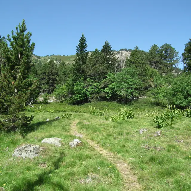
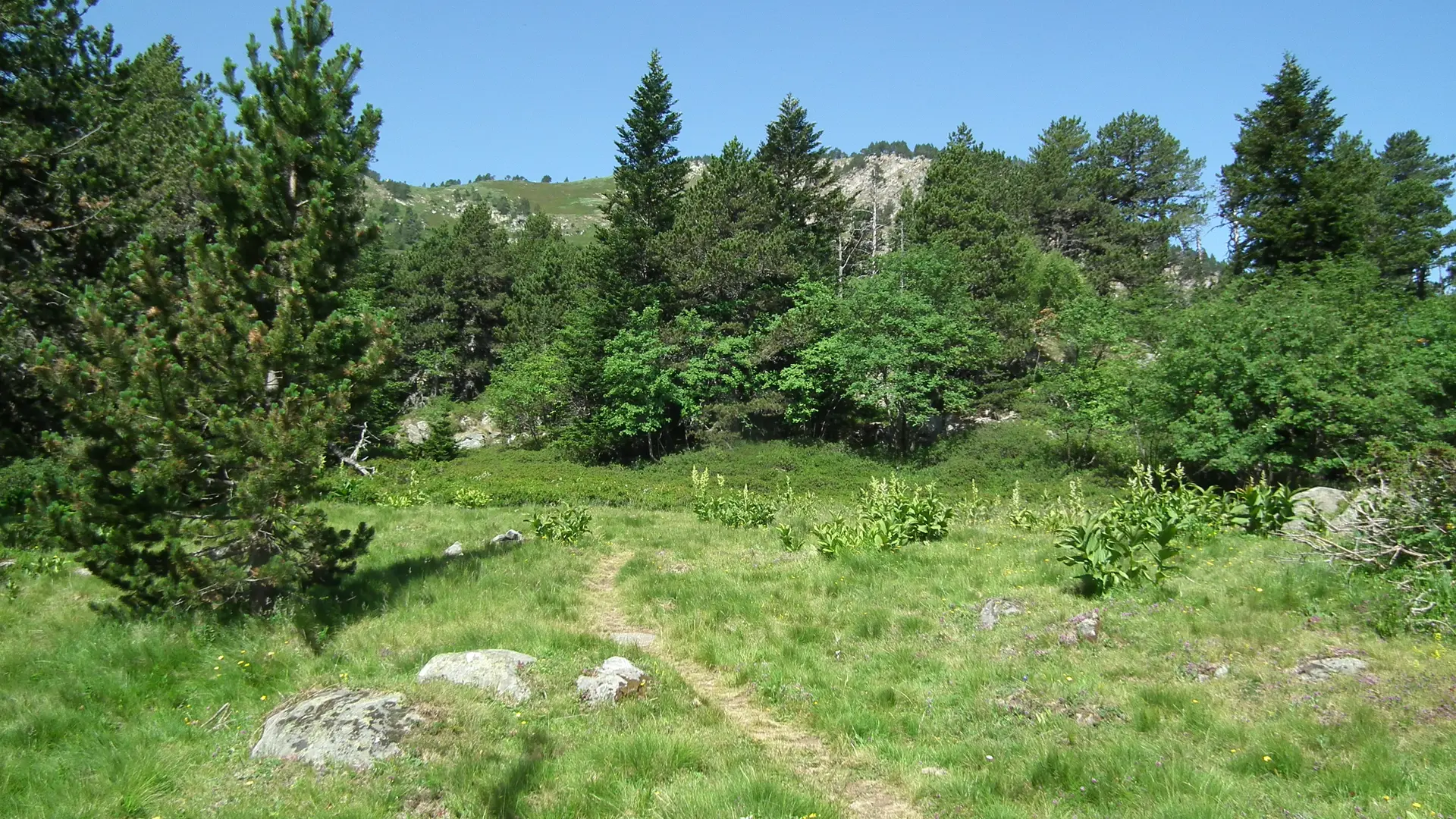
    Continue along the path, which passes through wooded areas
    and open meadows. About 400 m after crossing a wooden
    continue on the left-hand path.

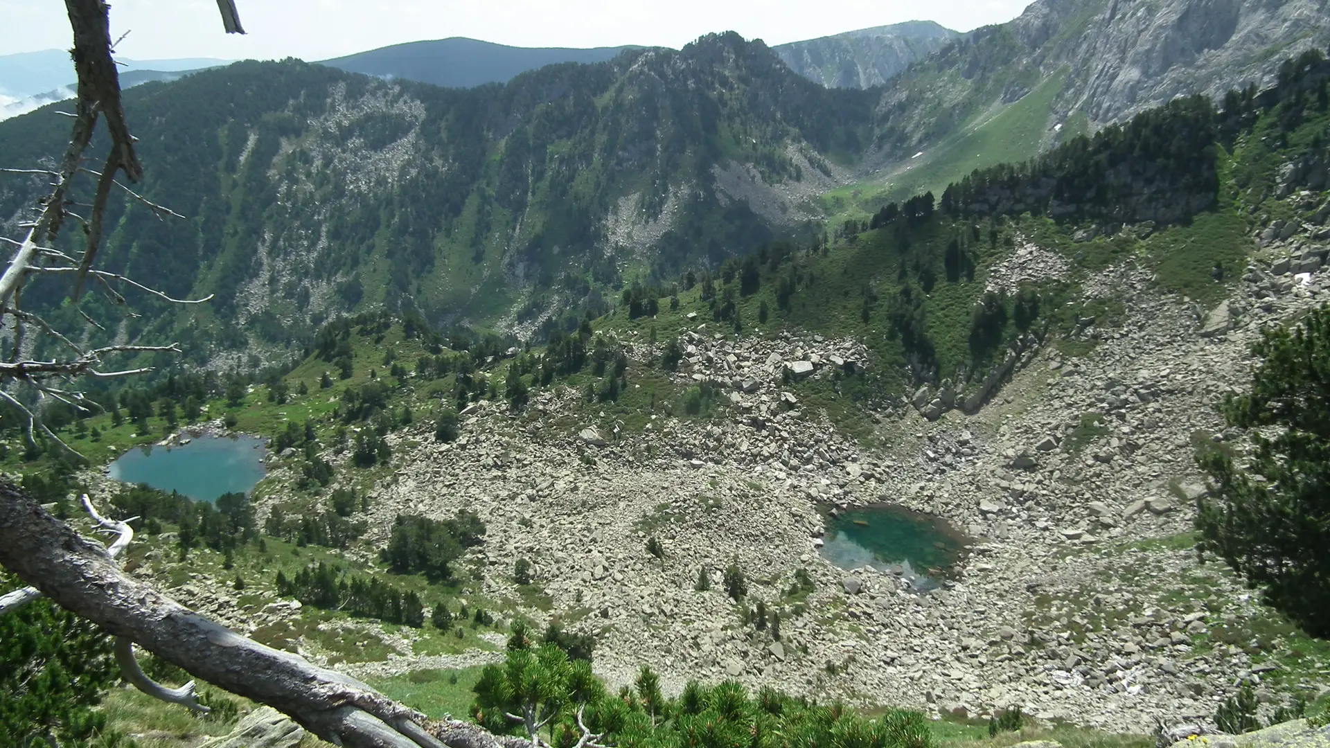
    1h15 - Arrive at a large riverside meadow where marmots and isards are very present. At the top of a small ridge, turn right
    right at the blue sign on a stone (towards La Camisette) and
    Camisette) and climb up the mountainside.

    1h45 - Arrive at the Camisette pond. Turn right and follow
    along it for a few metres, then climb towards the ridge. Continue along
    the ridge until you reach the Pic de la Camisette.

    2h45 - Reach Pic de la Camisette. Return the same way.
763 meters of difference in height
  • Maximum altitude : 2363 m
  • Minimum altitude : 1643 m
  • Total positive elevation : 763 m
  • Total negative elevation : -754 m
  • Max positive elevation : 338 m
  • Min positive elevation : -563 m
Services
  • Accessibility
    • Not accessible in a wheelchair
  • Equipment
    • Free car park
    • Car park
  • Services
    • Pets welcome
      • Pets allowed on leash only.