
See photos (3)
Étang du Laurenti
Sport, Pedestrian sports, Hiking itinerary
in Le Pla
5.6
km
2h 15min
Easy
-
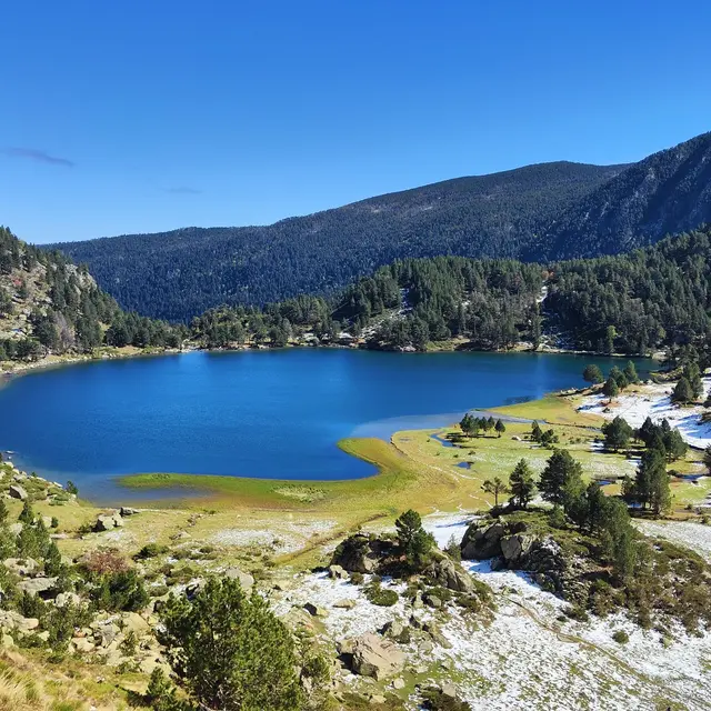
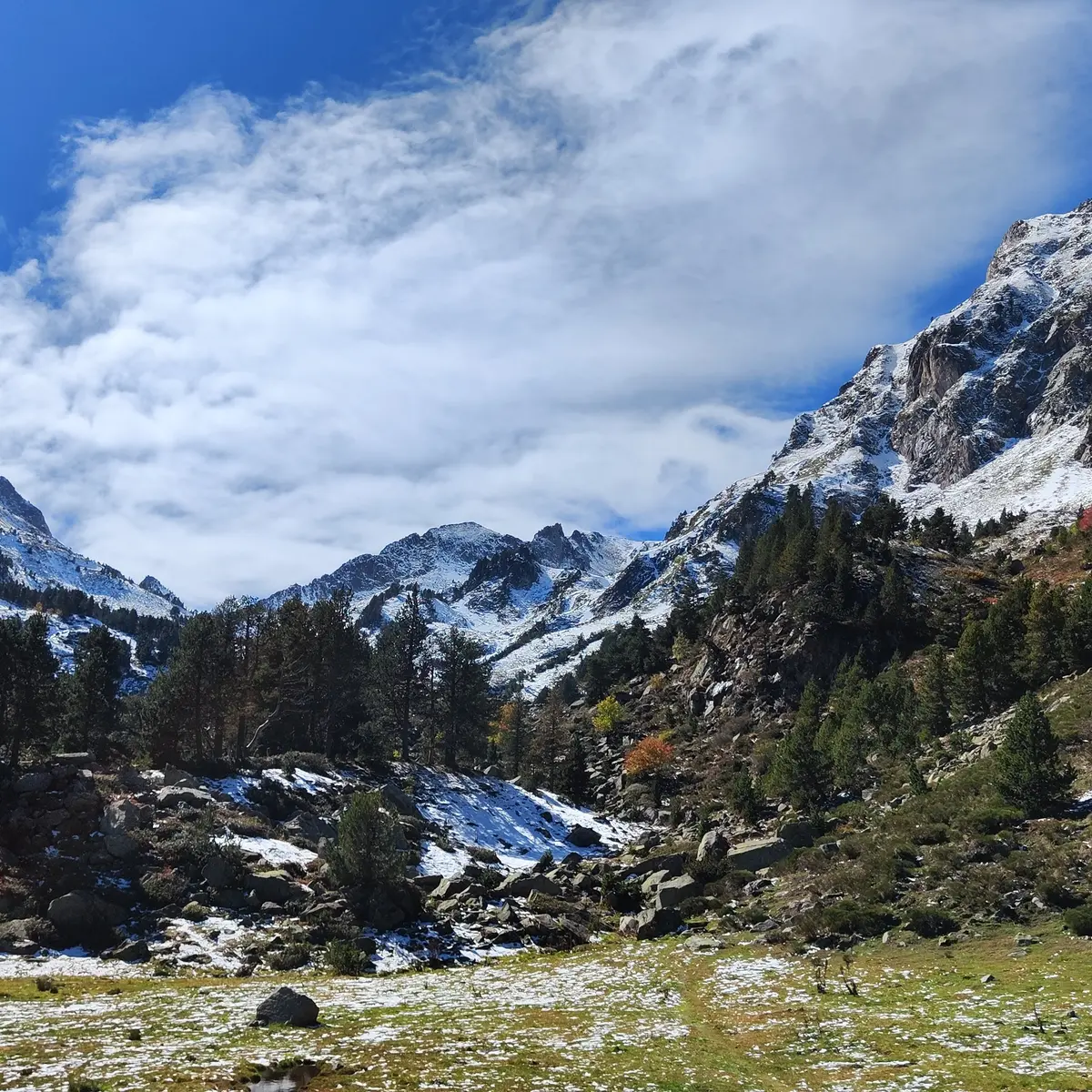
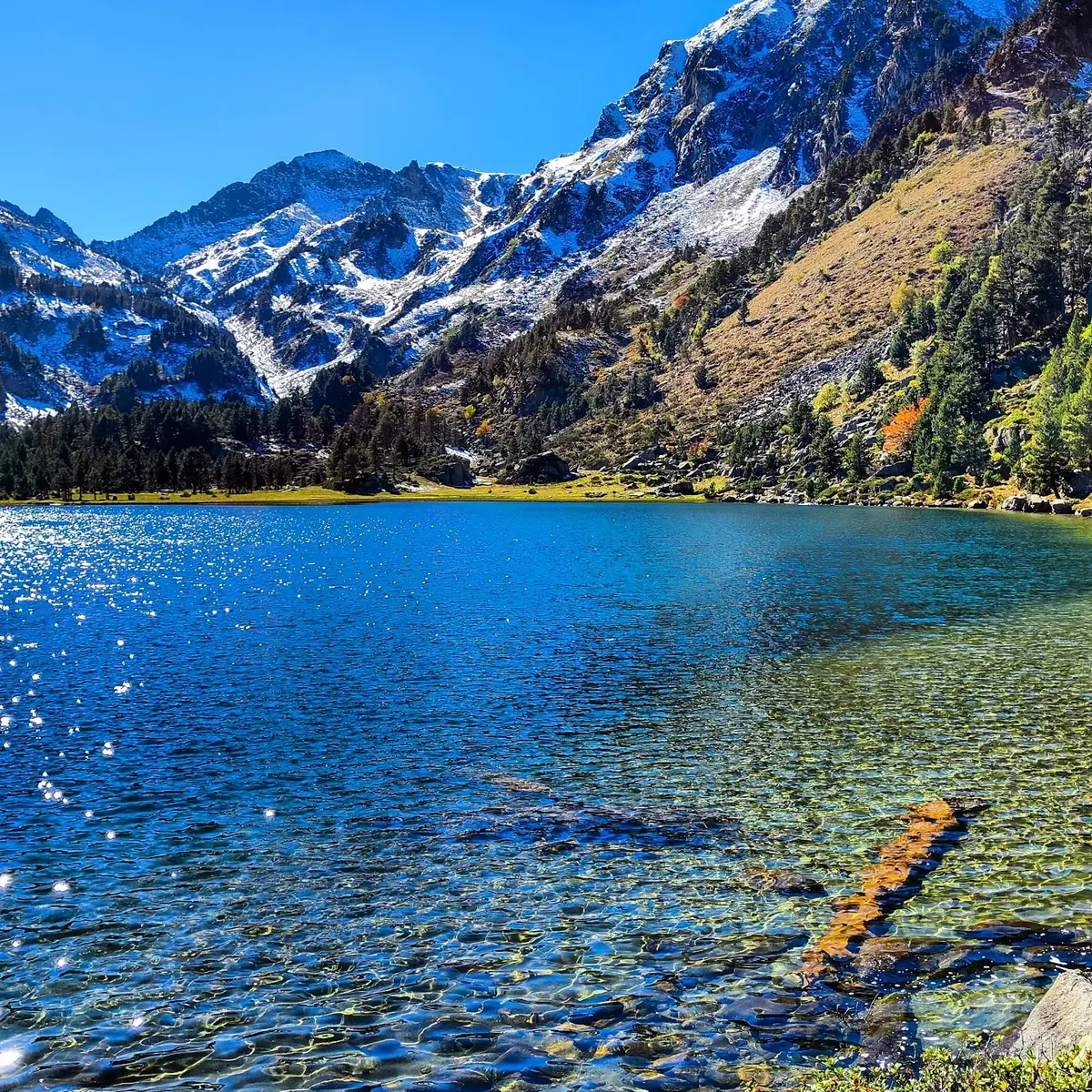
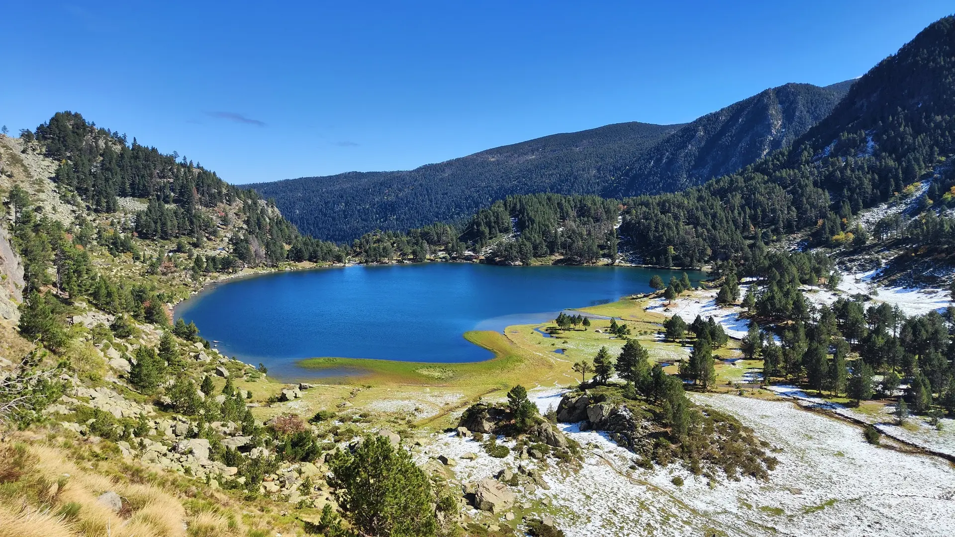
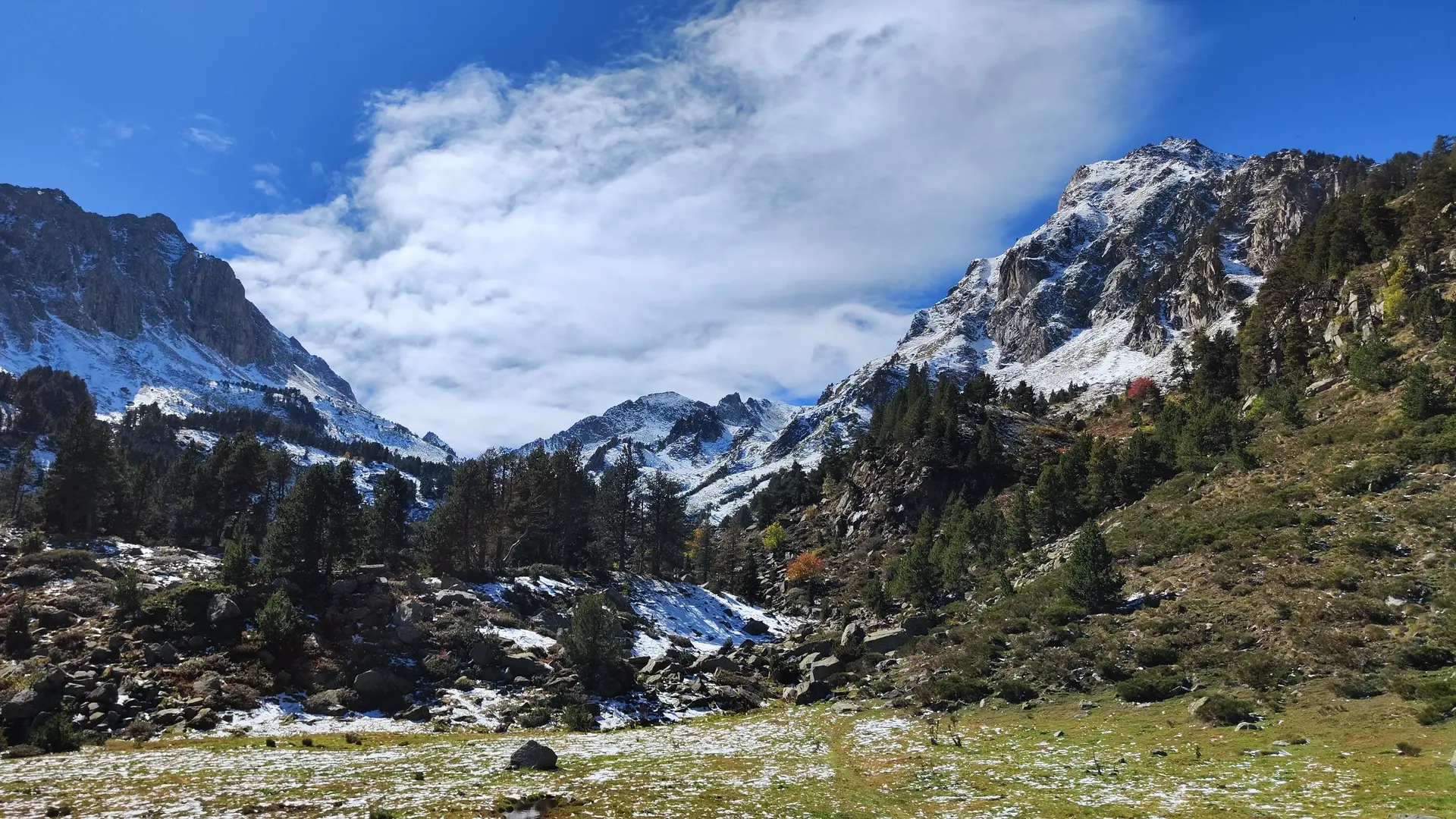
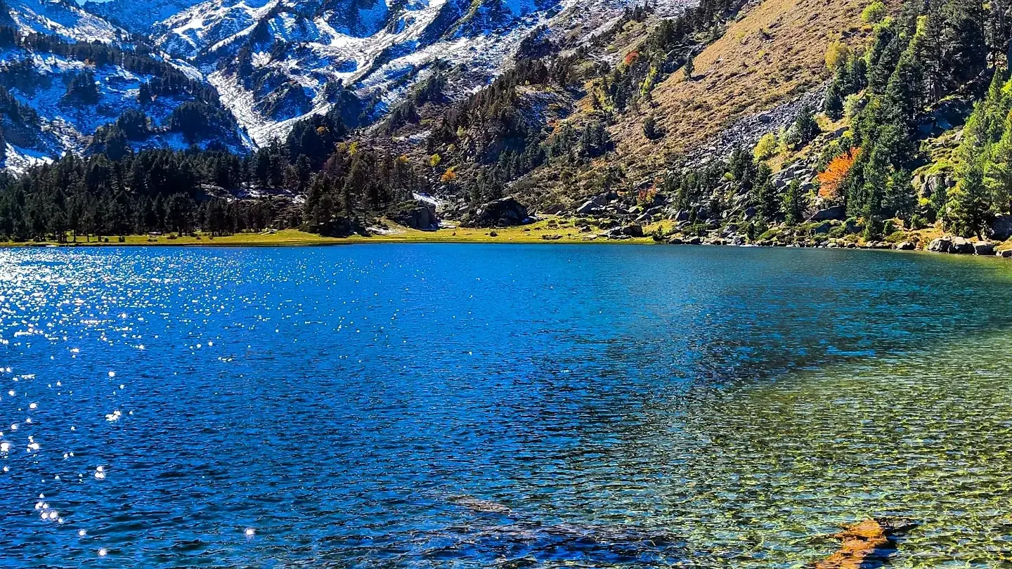
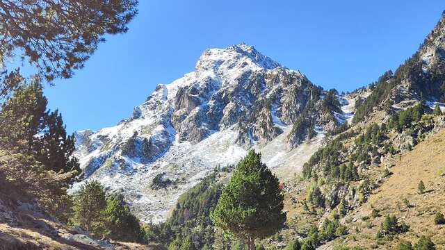
In the aptly named "Petit Québec Ariégeois", a beautiful family walk on a stony, rooty path requiring particular attention, especially from the little ones. What a reward once you reach the splendid Etang du Laurenti.
-
Access: Arriving from Ax les Thermes on the Col de Pailhères, follow the D25.
Just before the village of Le Pla, turn left on the local road towards "Des Soulades", "La pradaille".
Then take the route forestière du Laurenti to the refuge du Laurenti parking lot.
Do not start on the route forestière du Laurenti from "Le Mas", as this section is very degraded and not recommended.
- Departure
- Le Pla
-
-
Difference in height
- 309.489 m
-
-
-
Environment
-
-
-
Spoken languages
-
-
-
Documentation
-
- Etang du Laurenti
- Préparez votre randonnée
- Recommandations pastoralisme
- GPX Trace
- KML File
-
- See all reviews
- 309 meters of difference in height
-
- Maximum altitude : 1946 m
- Minimum altitude : 1634 m
- Total positive elevation : 309 m
- Total negative elevation : -309 m
- Max positive elevation : 307 m
- Min positive elevation : -307 m
Services
-
-
Accessibility
-
-
-
Equipment
-
-
-
Services
-