Guidebook with maps/step-by-step
(D) - From the parking lot, follow the road towards Vicdessos (yellow markings), 150 m further on, turn right down the track. Back on the road, follow it to the next hairpin bend at 1390m altitude. You'll spot the path to the Etang d'Arbu, which starts at the bend, descending steeply. Following this path, you soon come across the Biert stream. You need to ford its various branches.
50 min - You reach the Pont de Ganioule at 1410m altitude, which spans the Ruisseau d'Arbu. Follow the well-marked path up the steep left-hand slope. Leaving the waterfall on your left, you reach the orris under Arbu. Continue uphill.
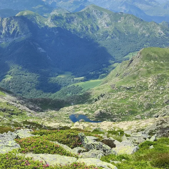
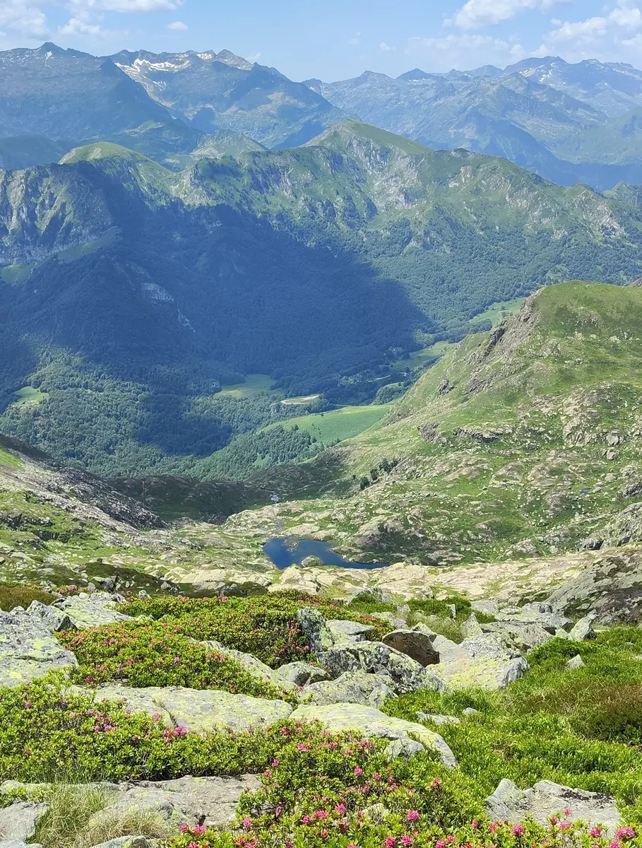
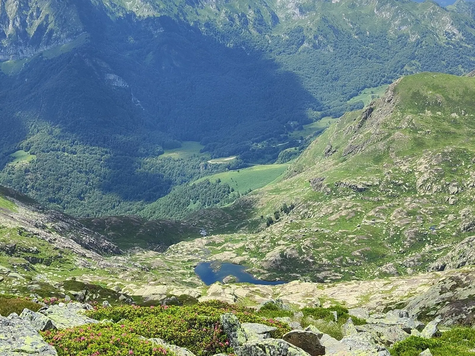
1h45 - L'étang d'Arbu at 1726 m. It's quite large and dark, with its small islands. You can see the Pic des trois seigneurs to the northeast. The return journey takes the same route.
(A) 3h10 - You're back at the parking lot.