See photos (2)

Mount Fourcat

Sport, Pedestrian sports, Hiking itinerary in Mercus-Garrabet
9.3 km
4h 15min
Medium
  • This hike to Mont Fourcat is one of the great classics of the Ariège Pyrenees. Beginning in the forest, it climbs through grassy sections to reach the summit at over 2000 meters.

  • Access: Head north from Tarascon on the D618 towards Mercus. In the village, turn right onto the D61 to Croquié. At the entrance to the village, at the large chestnut tree, take the left-hand track to the Brougues parking lot.
  • Guidebook with maps/step-by-step
    (D/A) You start from the Brougues parking lot (1210m) below the Traucadou pass at 1253m, thus avoiding the Croquié climb. Near the track, you'll find a path leading up through birch, pine and fir trees. After 20', take the right-hand hairpin bend and leave the track. The fir trees close in a little, but concede to the left. At a bend in the road, you come to an intersection with a track. Further on, a small track on the right in the undergrowth will try to divert your attention, so keep going straight ahead, and you'll soon be out of the forest...

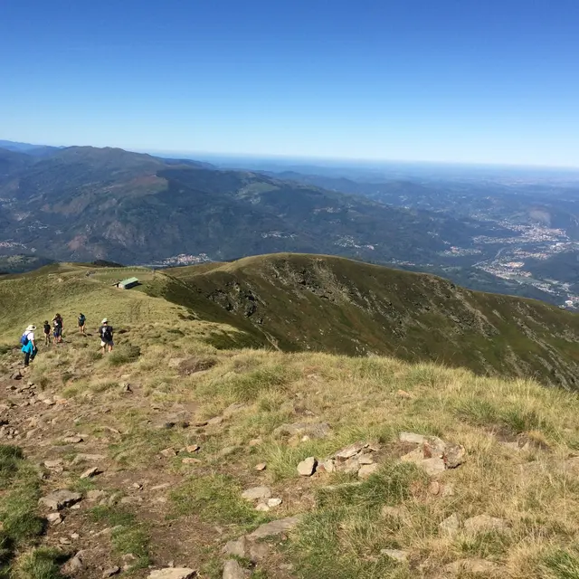
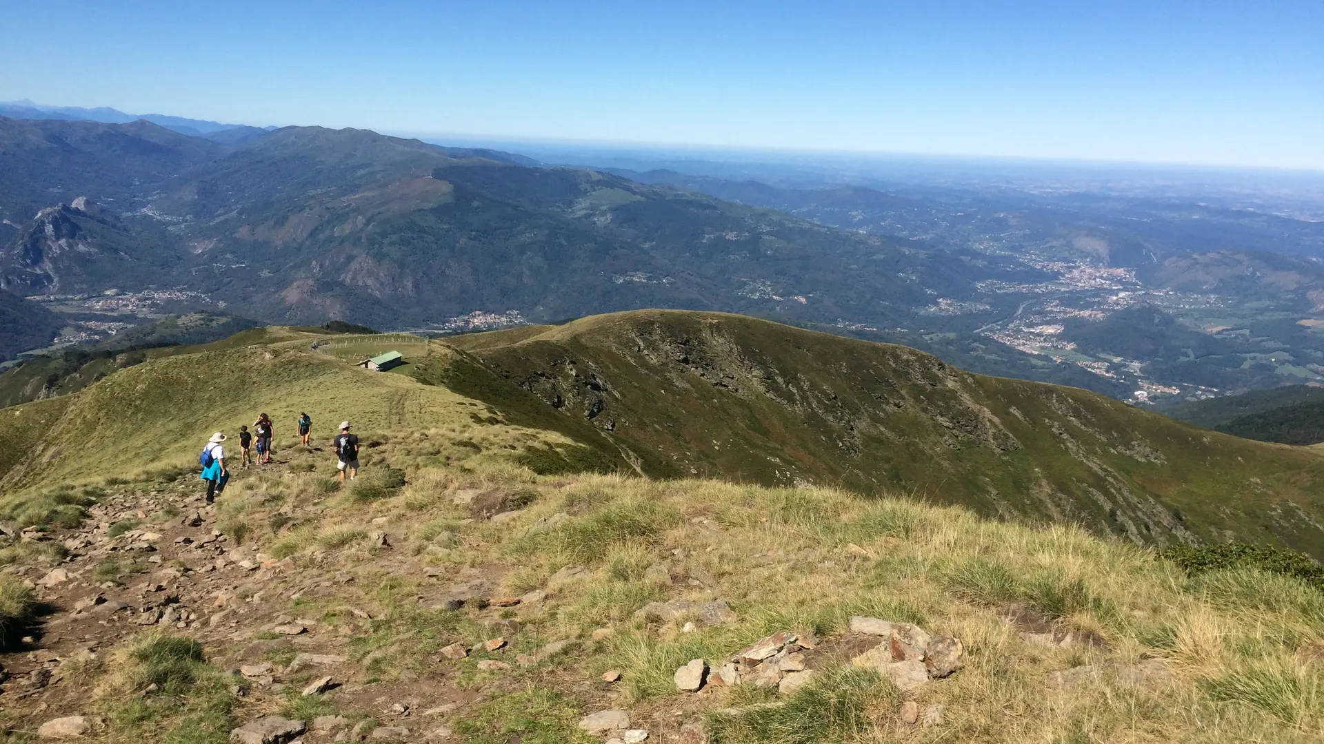
    1h00 - ORRI (1577m). The orri is on your right, and you're still heading uphill. You can now get a fairly good view of the ridge line to Le Fourcat. Gradually crest "Sauvegarde" and you gain in height. You skim the Pic de la Lauzate, at 1800m, to reach the small Col de la Lauzate (1h45). Along the way, you reach the last stage before the summit.

    2h00 - PASTORAL CABIN

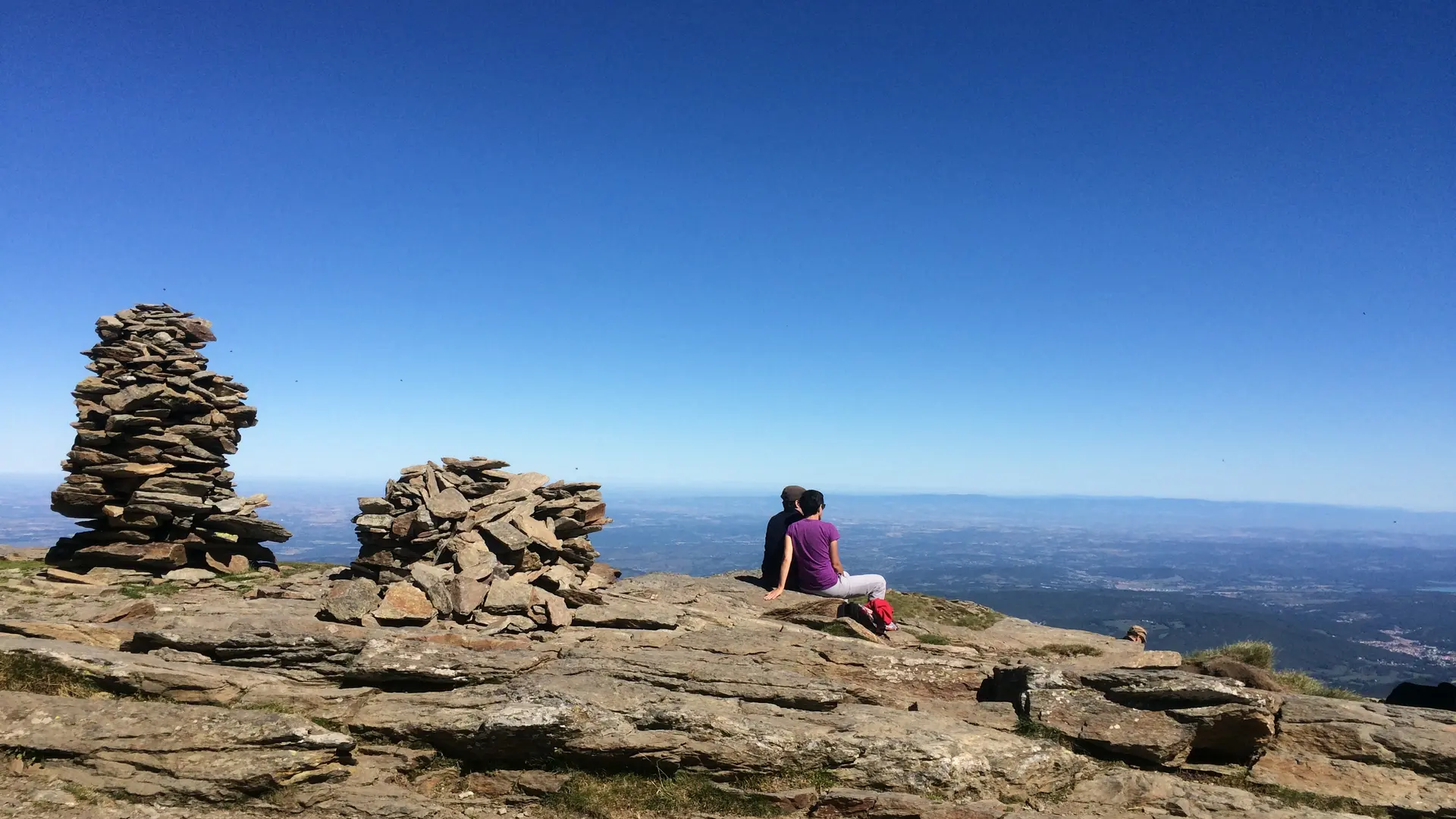
    2h30 - MONT FOURCAT (2001m). If you follow the south of the Tabe massif, you'll first come to the summit of Estagnole, then behind it, dominating the massif at 2348m, the illustrious peak of Saint-Barthélémy. To get back to the parking lot, simply retrace your steps.

    4:15 - A - You're back at Les Brougues.
  • Departure
    Mercus-Garrabet
  • Difference in height
    757.85 m
  • Access: Head north from Tarascon on the D618 towards Mercus. In the village, turn right onto the D61 to Croquié. At the entrance to the village, at the large chestnut tree, take the left-hand track to the Brougues parking lot.
  • Environment
    • Forest location
    • Mountain location
  • Spoken languages
    • French
  • Documentation
    GPX / KML files allow you to export the trail of your hike to your GPS (or other navigation tool)
758 meters of difference in height
  • Maximum altitude : 1948 m
  • Minimum altitude : 1204 m
  • Total positive elevation : 758 m
  • Total negative elevation : -742 m
  • Max positive elevation : 587 m
  • Min positive elevation : -742 m
Services
  • Equipment
    • Public WC
    • Car park
    • Orientation board
    • Free car park
  • Services
    • Pets welcome
      • Dogs must be kept on a leash due to the presence of herds.
Close