Guidebook with maps/step-by-step
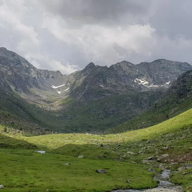
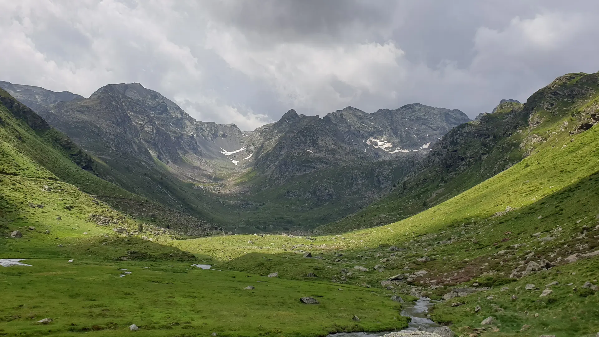
(D/A) - From the Orris du Carla at 1654m, climb the track 15'. Take the right-hand path before the bend. After the footbridge, stay on the left bank of the Soulcem stream.
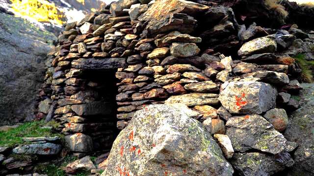
0h35 - At 1800m the path forks. The path climbs, follow the hairpin to the right. After the steep switchbacks, you're at the Roumazet orris. Continue on the same side.
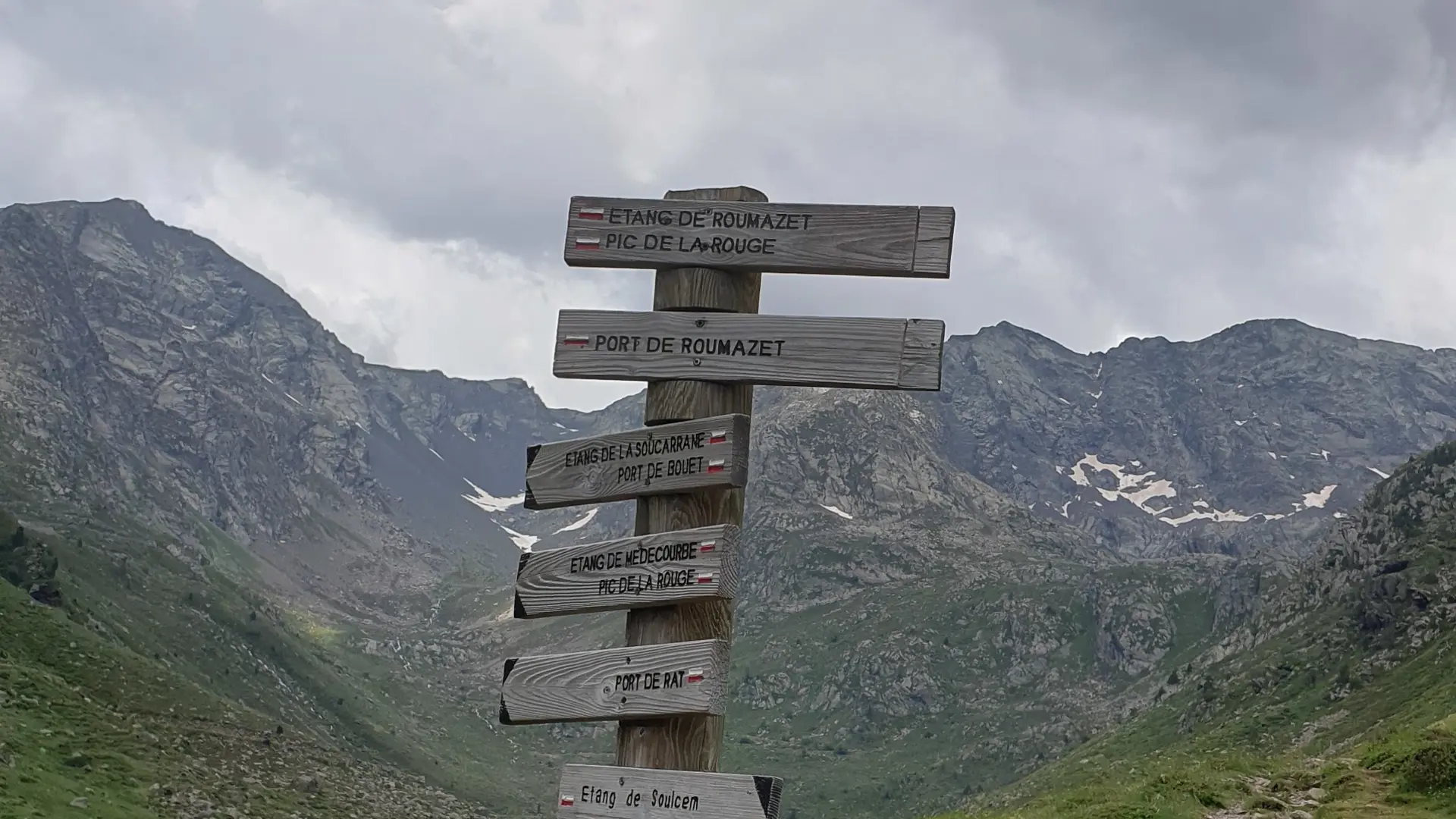
1h40 - You're at the fork in the road to Roumazet, hidden by an embankment. A small level indicates your goal at the point of a V. The zigzag route can be made out in the scree.
3h10 - PORT DE ROUMAZET (2510m). Just over 300m of ascent takes you straight to the Pic de la Rouge.
4h20 - PIC DE LA ROUGE (2902m). Carefully, first on the ridge, then easily to the right.
5:50 - PORT DE BOUET (2509m). The path leads off to the left, towards the pond.
Return:
6h60 - ETANG DE ROUMAZET (2163m). Return to the fork, follow the outward path downhill to the intersection at Pla de Soulcem, then near the Labinas waterfall.
7.45 am - A - And you finally reach the orris du Carla.