The Chioula signal

  • Sport
  • Pedestrian sports
  • Hiking itinerary
Elevation : 1443m
Col du Chioula, 09110 Ignaux
The easily accessible Signal du Chioula is one of the most spectacular vantage points in the Vallées d'Ax.
Access: Park in the Col du Chioula parking lot along the D613.
  • Guidebook with maps/step-by-step
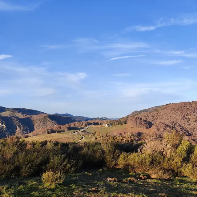
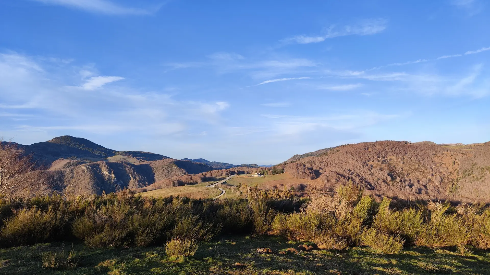
    (D/A) Follow the road southwest. When it turns left, go straight ahead on a white track and climb to the summit.

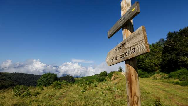
    0h20 - When the track veers to the right, follow a wide dirt track up the Chioula ridge. Stay on this course until you reach the summit (orientation table).

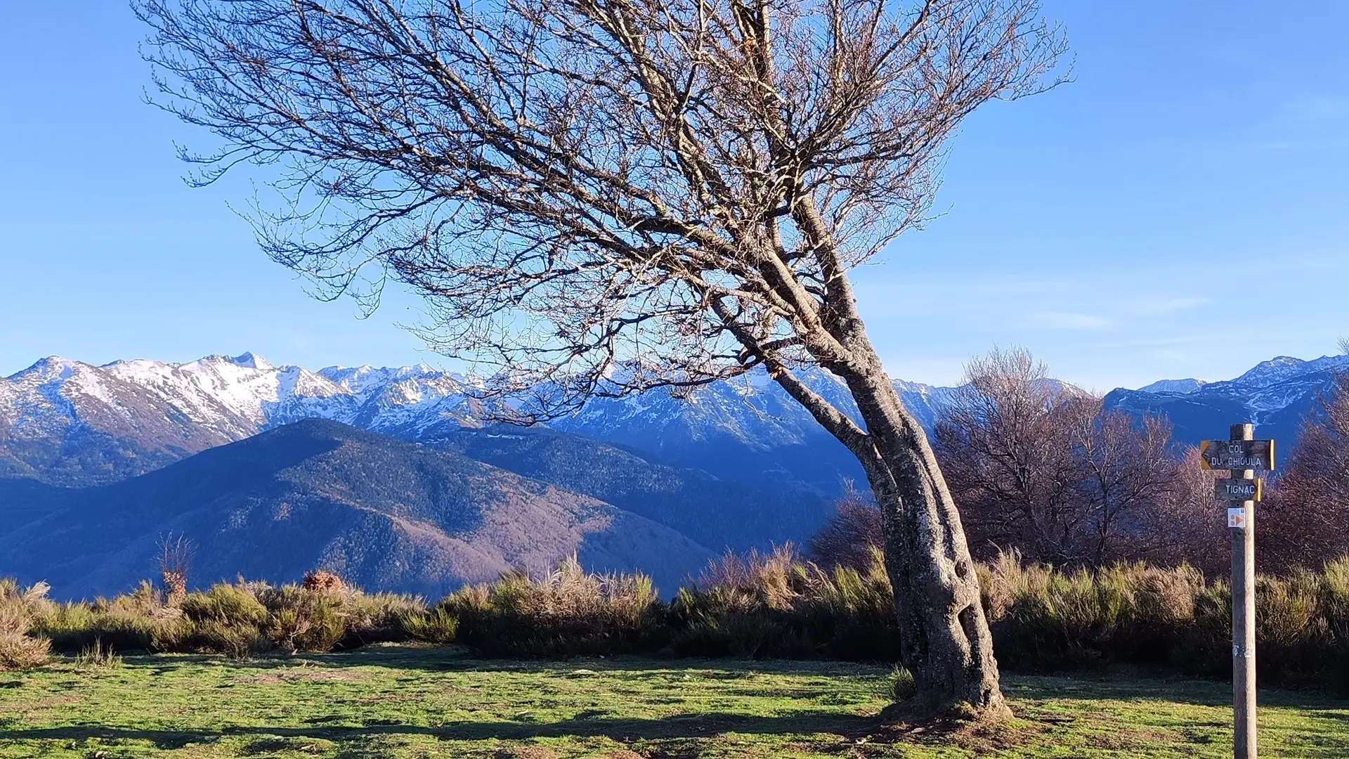
    0:30 - Continue straight on, leaving the orientation table on your right, until you reach the next junction, where you turn right into the forest.

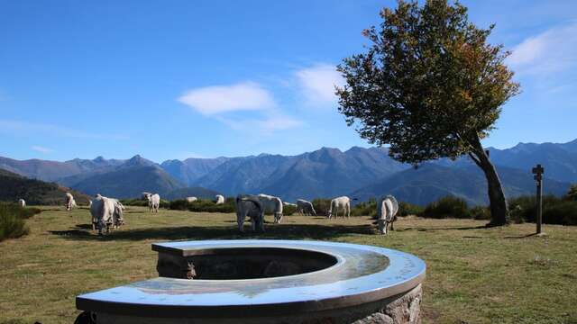
    0:45 - You reach the junction leading to the Chioula crest. You can now return to the parking lot in 15 min.

Services

Car park
Animals accepted

Environment

  • 30 - 40 min from a train station by bike
  • Forest location
  • Mountain location
  • 30 - 40 min from an SNCF station by electric bike
  • 10 - 20 min from a train station by car
Updated on 25 November 2025 at 16:05
by Office de Tourisme des Pyrénées Ariégeoises
(Offer identifier : 6695544)
Report mistake
Filter search
Page types
  • All
  • Articles
  • Agenda
  • Lists