Guidebook with maps/step-by-step
(D) From the Puch parking lot, leave the village and take the track towards Carcanières. At the road, turn left. In Carcanières (20 min), stay on the right-hand road. On leaving the village, at the horseshoeing post, turn left onto the track and follow it to the right. At the sign, join the right-hand track and follow the signs for Quérigut. At a road, turn left.
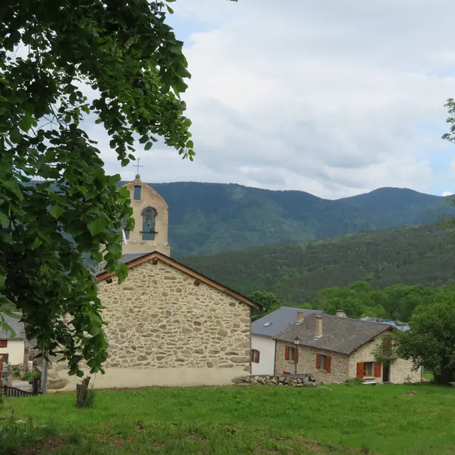
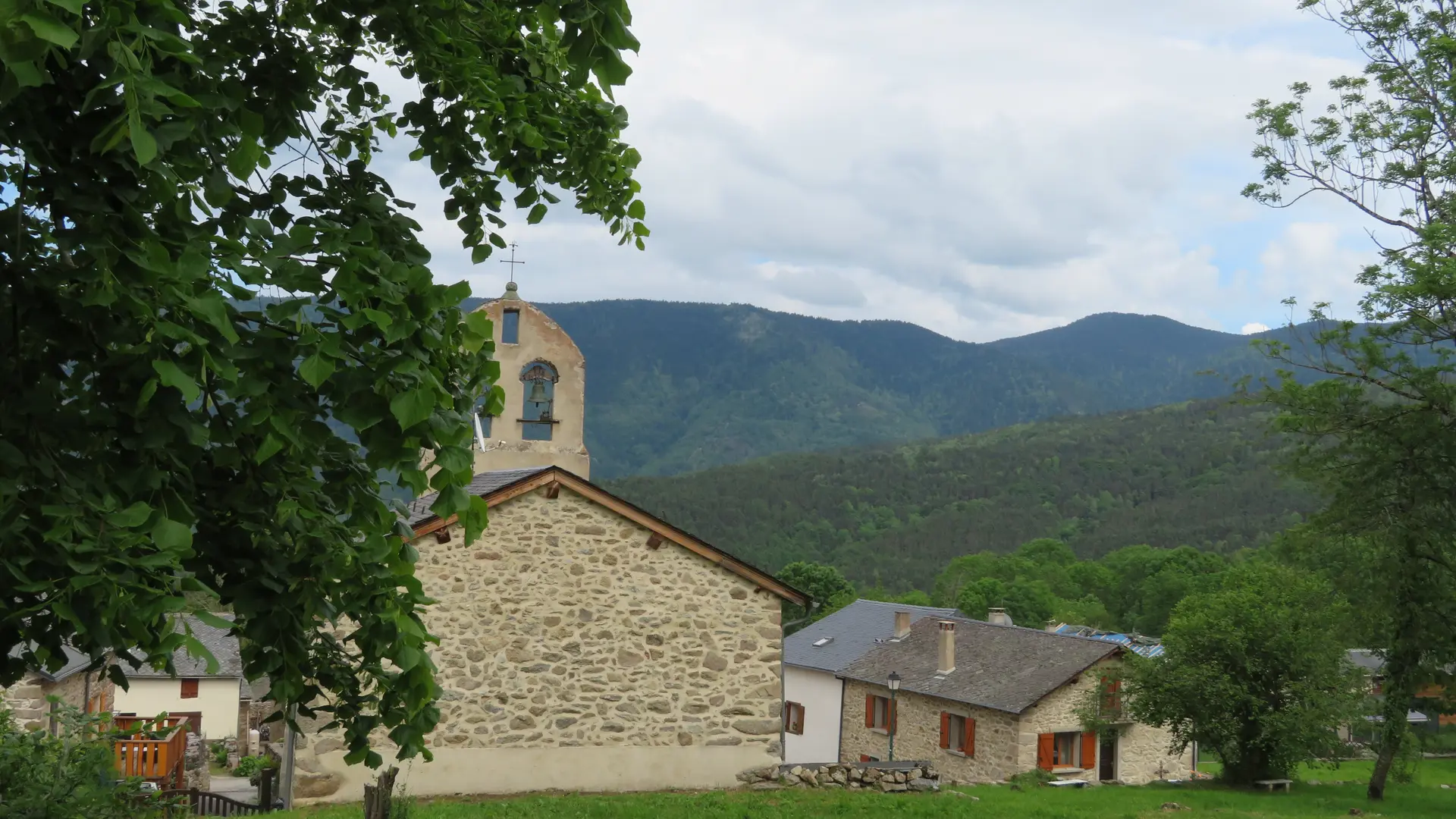
1h 00 - Quérigut. Take the first left up the lane to the church, then follow it to the right. Go past the town hall and down to the cemetery. Immediately afterwards, turn right towards Le Pla and follow this direction until you reach the road on the left.
Arrive at Le Pla (1h50) and drive up this road to reach the crossroads of the
village center. Turn left, then right at the crossroads onto the tarmac road for 150 m, then left onto the track which climbs towards Artigues, and follow this direction.
3h00 - Artigues. At the intersection after the short descent, turn left, then left again to pass under the bridge. Turn right immediately to go up to Col d'Aspil, then down to Lac de Noubals to reach the dam. Take care when passing the farm. Descend the switchbacks behind the dam and cross the bridge to
take the path to the right towards Mijanès and follow this direction. At Mijanès (3h25), cross the bridge and take the first road on the right to Rouze.
4h 20 - Rouze. Take a small staircase on the right to reach a parking lot. Take the road opposite the post office towards Château d'Usson. Before the bridge, take the tarmac track downhill, then follow the signs for Usson. Follow this road until you reach the château.
Take the right-hand hairpin bends up towards Le Puch and follow this direction.
Go straight through the village until you reach the town hall.
6.00 am - Arrive at Le Puch parking lot.