See photos (2)

Roc Blanc

Sport, Pedestrian sports, Hiking itinerary in Le Pla
10.1 km
5h 30min
Hard
  • This hike will take you to the summit of Roc Blanc, overlooking the Etang du Laurenti, to dominate Donezan, also known as "Petit Québec Ariégeois".

  • Access: Arriving from Ax les Thermes on the Col de Pailhères, follow the D25.
    Just before the village of Le Pla, turn left on the local road towards "Des Soulades", "La pradaille".
    Then take the route forestière du Laurenti to the refuge du Laurenti parking lot.
    Do not start on the route forestière du Laurenti from Le Mas, as this section is very degraded and not recommended.
  • Guidebook with maps/step-by-step
    (D/A) The path leads off to the right of the torrent between fir and beech trees. The start is gentle. In fact, it's an old taffy trail. The slope soon becomes steeper, and you're on a rocky path. Watch your ankles.

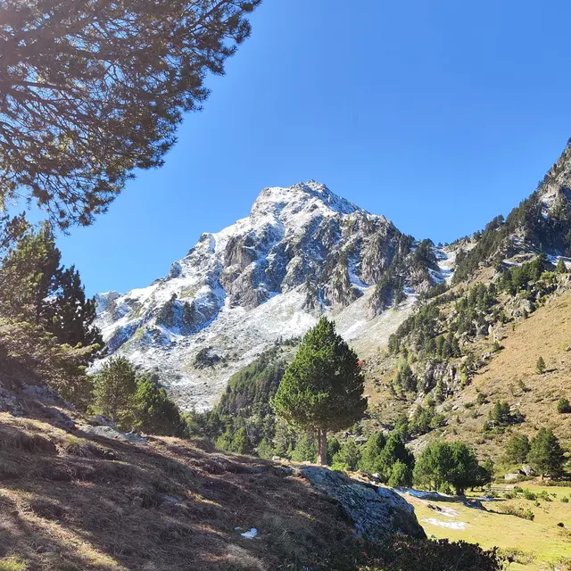
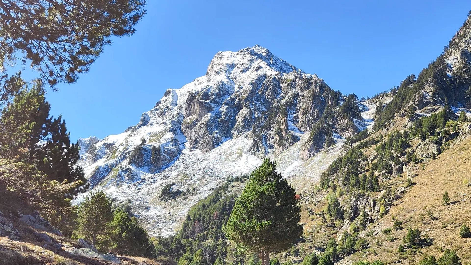
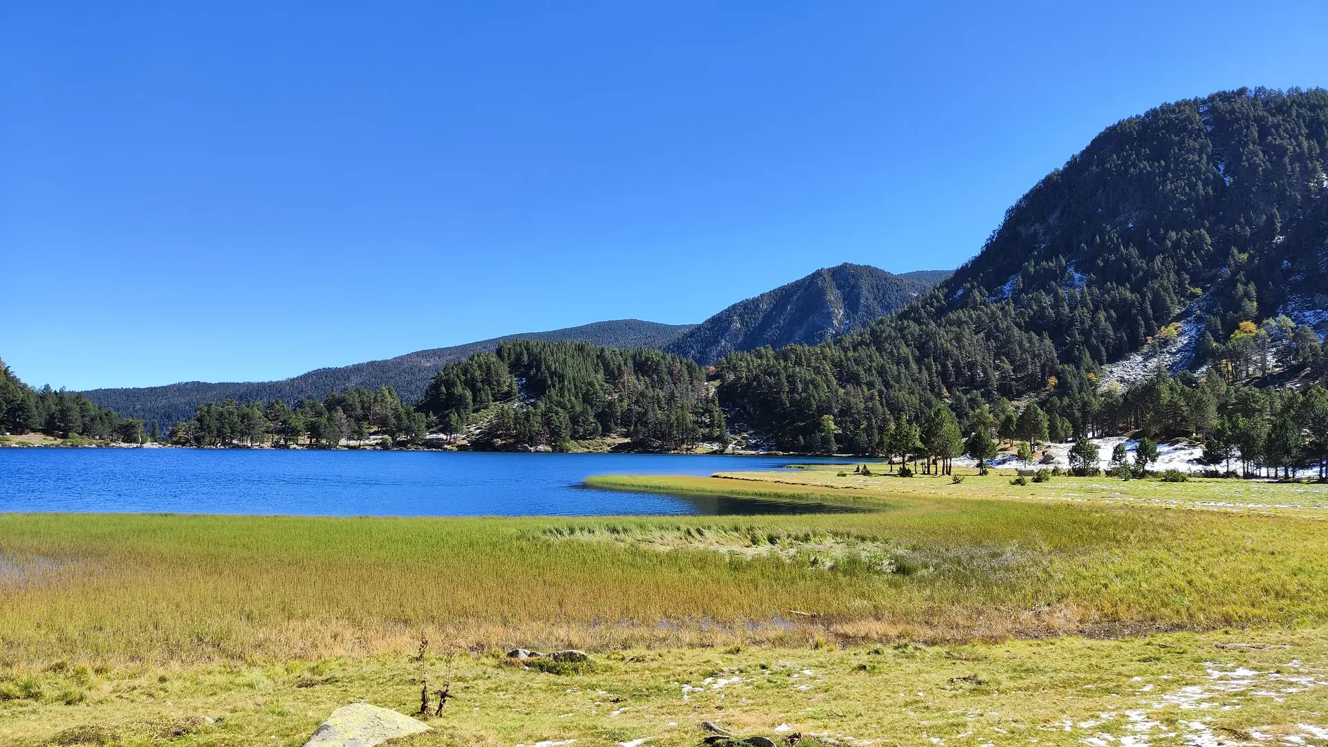
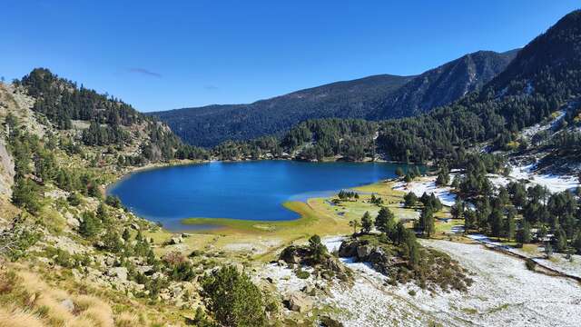
    1h10 - ETANG DU LAURENTI. Follow the path to the pond. Go around it to the right. The grass is soft and moist. It's flat... After the knoll, turn right into a small valley occupied by scree and rhododendrons. The path is generally well marked. The climb continues in a sort of suspended valley. Small flats alternate with steep slopes.

    2h10 - COL DU LAURENTI (2200m). After a couple of hairpin bends, the path bends to the right and climbs to a grassy ridge. In front of you is the Col du Laurenti, and at your feet a small lake that dries up in summer. Follow this small lake to the left to reach the col, then climb up a sort of half-grass corridor that leads to a traverse below the Pic where you arrive (3h30).

    6h30 - A - Return by the same route.
  • Departure
    Le Pla
  • Difference in height
    825.806 m
  • Access: The Laurenti forest road is not recommended due to its poor condition. To reach the start of the hike, take either the Bruyante forest road from Mijanès, or the Bosc Nègre forest road at the Col des Hares in Quérigut. Take one of the 2 forest roads until you reach the refuge du Laurenti parking lot.
  • Plain text period
    Subject to favorable snow and weather conditions.
  • Environment
    • Presence of livestock and guard dogs
    • Forest location
    • Mountain location
    • Pond within 5 km
  • Spoken languages
    • French
  • Documentation
    GPX / KML files allow you to export the trail of your hike to your GPS (or other navigation tool)
826 meters of difference in height
  • Maximum altitude : 2461 m
  • Minimum altitude : 1638 m
  • Total positive elevation : 826 m
  • Total negative elevation : -826 m
  • Max positive elevation : 519 m
  • Min positive elevation : -823 m
Services
  • Accessibility
    • Not accessible in a wheelchair
  • Equipment
    • Free car park
    • Car park
    • Picnic area
  • Services
    • Pets welcome
      • Dogs must be kept on a leash due to the presence of herds.