Guidebook with maps/step-by-step
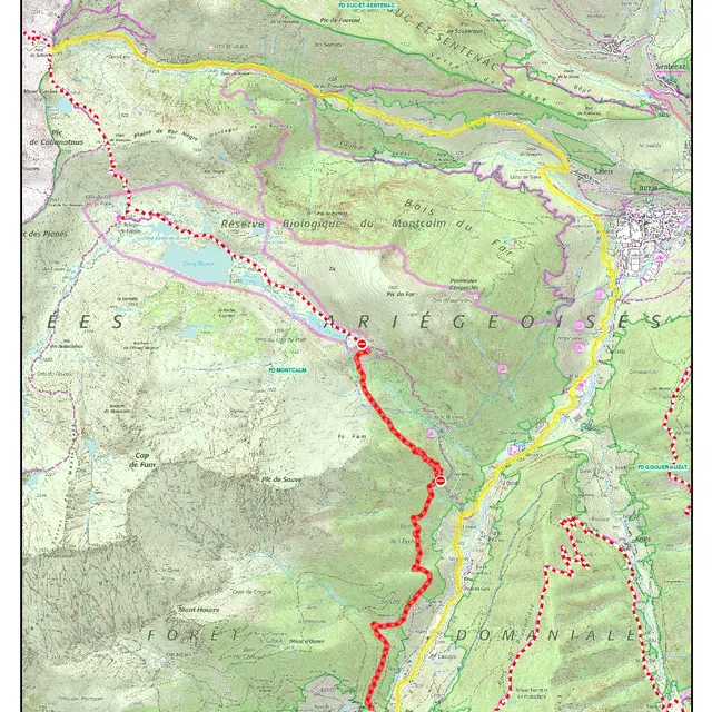
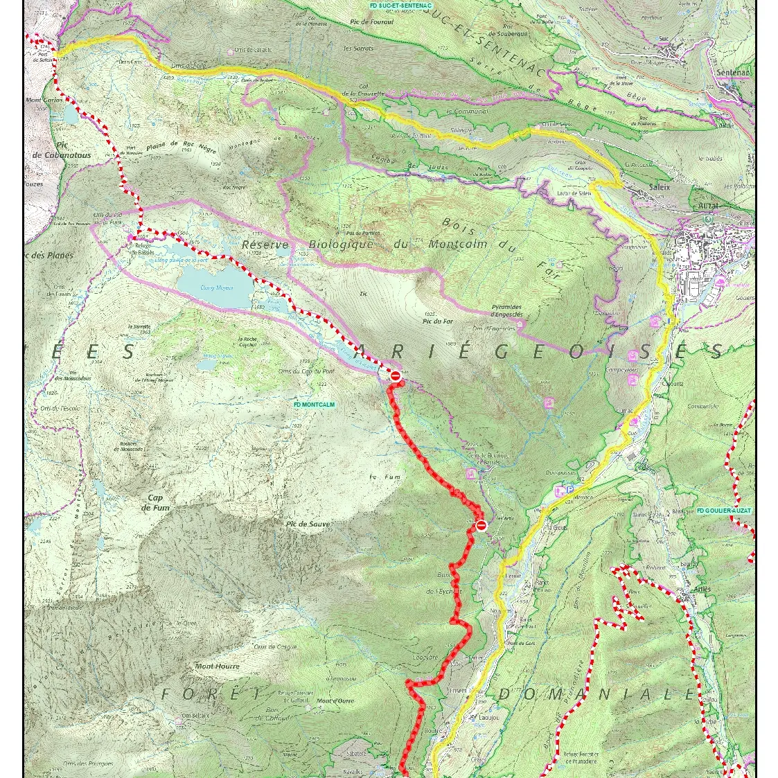
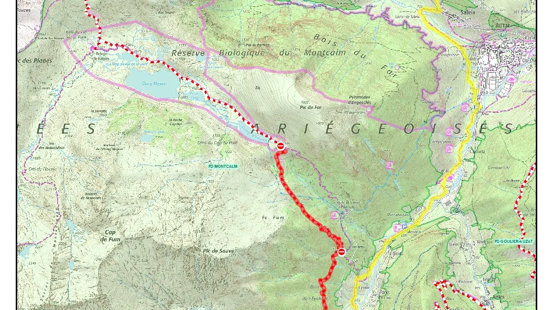
Start - From the Massada parking lot, walk about 200m and turn right at the bend in the road onto a path that plunges uphill to a footbridge. Less than 20m further on, turn left for what will be the start of your ascent (white and red markings). The Vicdessos rival is fairly wide and paved. After a 20' walk, you leave it at the stream. To the right, the path initially becomes entangled in the stream, then climbs more safely, on the left bank, to the GR10. The path is less easy... It later crosses the road and enters the woods. It becomes even more demanding with a few twists and turns.
After 15', a fork in the road takes you to the aqueduct, but you keep going straight on north-west. The twists and turns start again! Don't get bored. At last, you descend a little, past a few small streams and wetlands, and emerge from the woods. You cross the penstock. A little further on, the path bends sharply to the right to pass the lock.
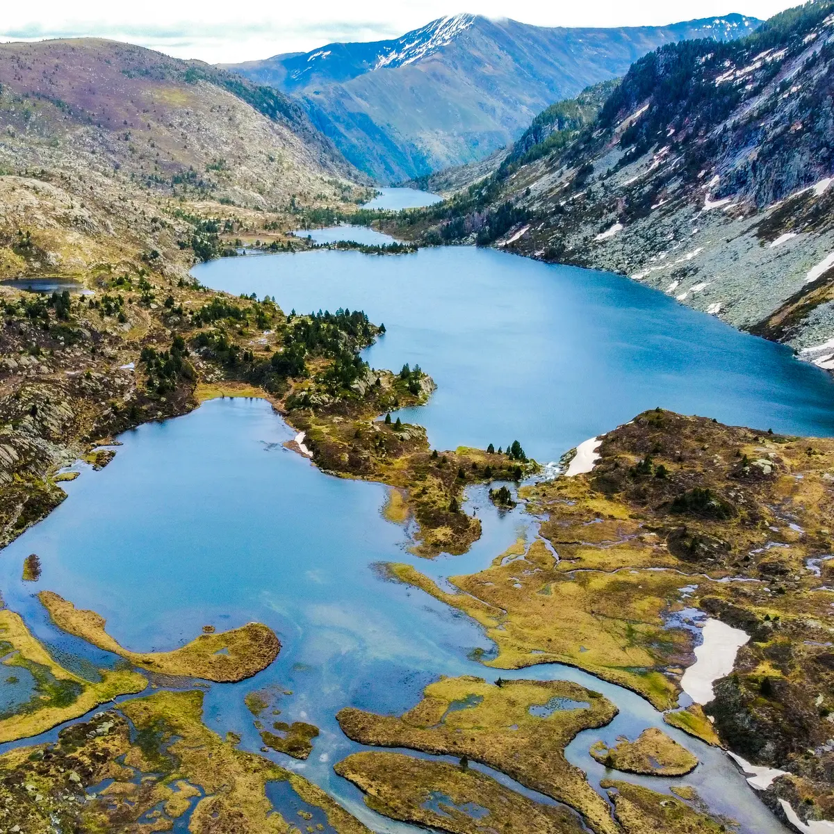
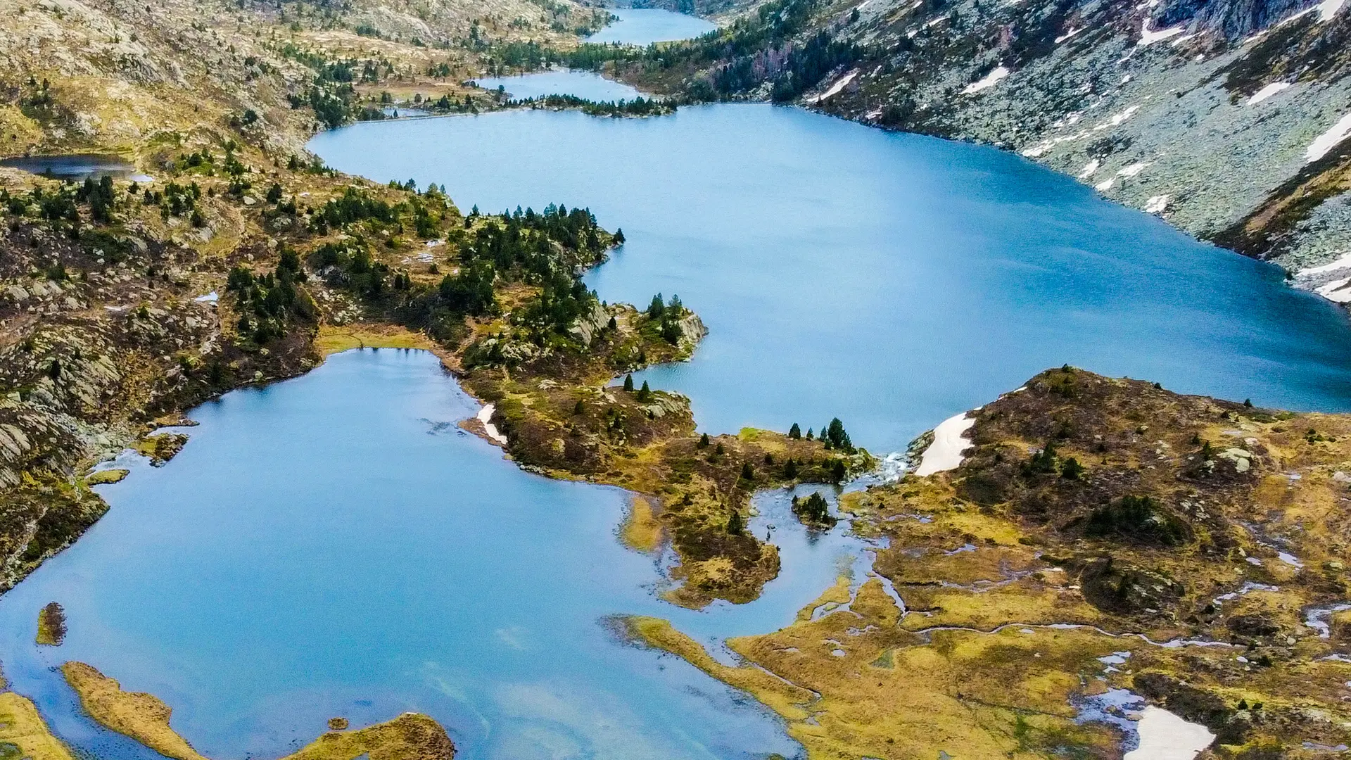
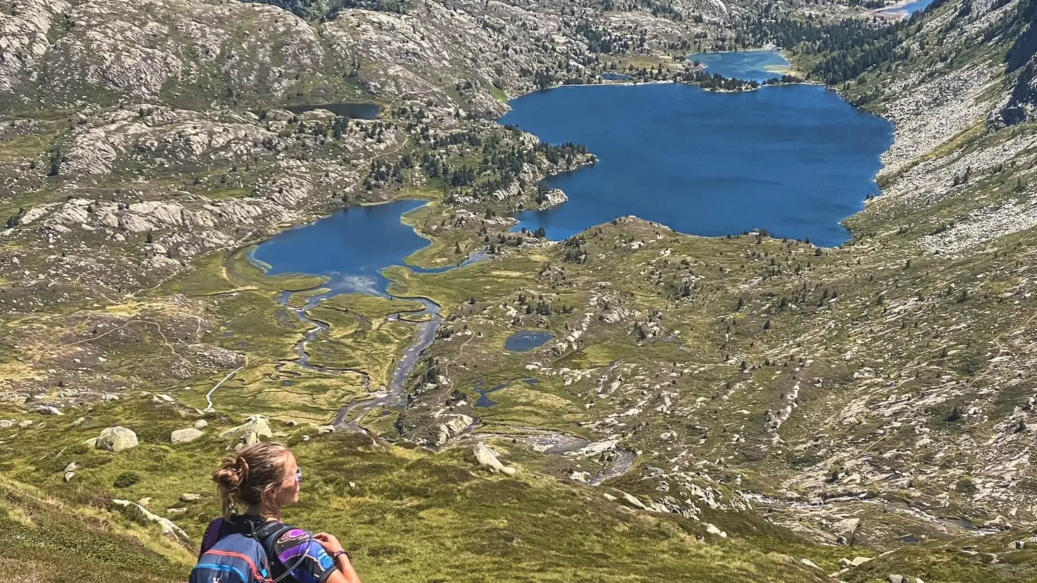
1h50 - Cross the Bassiès stream on the beautiful stone bridge. A few dozen meters further on, and you're at the Escalès pond. The others follow one another, and you join them as you advance along the left bank of the Bassiès planèze towards the W - N W. You border the main pond and pass to the left of the small, marshy Etang Mort. Keep going, you'll soon be there. The GR10 bends to the north, and in a few minutes it's time to turn left to the south-west,
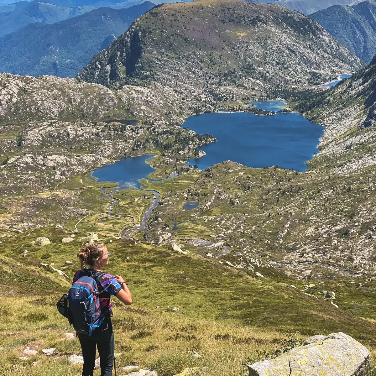
3h00 - the Bassiès refuge at 1650m. Take a bite to eat, especially if you want to go further down the valley for a swim, as you're sure to find a lovely spot. This will give you a better view of the deep valley that winds its way past the ponds of the Escale lavants to the famous Bassiès red pick, which you'll do another time...
For the return journey, take the opposite route
5.40 - Arriving at Massada, you now know why the Bassiès ponds are so famous!